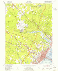
1952 Map of Pleasantville
USGS Topo · Published 1955About this map
The US Naval Reservation Atlantic City Naval Air Station dominates the central landscape of this early 1950s survey, illustrating the significant military and aviation footprint in Atlantic County during the post-war era. The dense grid of Pleasantville contrasts with the surrounding township lands, where the Pennsylvania-Reading Seashore Lines provides a vital transportation backbone connecting inland settlements like Germania and Pomona to the coast.
Find a feature on this map
60 named features on this map. Tap any name to fly to it.
Don’t see what you’re looking for? This feature index may not catch every label — zoom into the map to look around manually.
Map Details
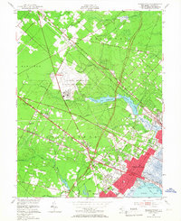
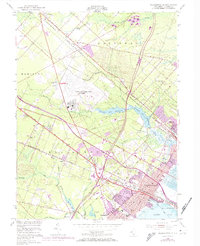
Editions of this 1952 Pleasantville Map
3 editions found
Other maps of this area

1887 · Atlantic City
USGS Topo · 1:62,500

1888 · Little Egg Harbor
USGS Topo · 1:62,500

1890 · Great Egg Harbor
USGS Topo · 1:62,500

1890 · Mullica
USGS Topo · 1:62,500

1893 · Great Egg Harbor
USGS Topo · 1:62,500

1893 · Little Egg Harbor
USGS Topo · 1:62,500

1894 · Atlantic City
USGS Topo · 1:62,500

1894 · Mullica
USGS Topo · 1:62,500

1898 · Mullica
USGS Topo · 1:62,500

1900 · Rancocas
USGS Topo · 1:125,000