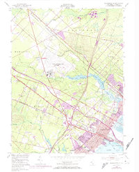
1952 Map of Pleasantville
USGS Topo · Published 1974About this map
Pleasantville and its surrounding communities are captured during a period of significant post-war infrastructure growth, where the arrival of major expressways begins to reshape the traditional South Jersey landscape. The Pennsylvania-Reading Seashore Lines cuts a diagonal path across the map, linking established settlements like Pomona and Absecon with the growing urban centers near the coast. This 1952 edition, with later revisions, shows the massive footprint of the NAFEC Atlantic City Airport and the sprawling Atlantic City Reservoir dominating the central terrain. Local genealogy and history are well-preserved through the inclusion of numerous sites such as Laurel Memorial Cemetery, Sholem Cemetery, and the McKee Town Fire Tower. Further south, the transition from inland pine barrens to coastal marshes is evident near Bargaintown and the waters of Lakes Bay.
Find a feature on this map
53 named features on this map. Tap any name to fly to it.
Don’t see what you’re looking for? This feature index may not catch every label — zoom into the map to look around manually.
Map Details
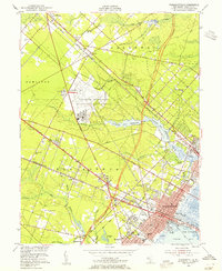
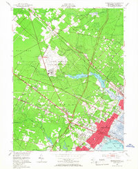
Editions of this 1952 Pleasantville Map
3 editions found
Other maps of this area

1887 · Atlantic City
USGS Topo · 1:62,500

1888 · Little Egg Harbor
USGS Topo · 1:62,500

1890 · Great Egg Harbor
USGS Topo · 1:62,500

1890 · Mullica
USGS Topo · 1:62,500

1893 · Great Egg Harbor
USGS Topo · 1:62,500

1893 · Little Egg Harbor
USGS Topo · 1:62,500

1894 · Atlantic City
USGS Topo · 1:62,500

1894 · Mullica
USGS Topo · 1:62,500

1898 · Mullica
USGS Topo · 1:62,500

1900 · Rancocas
USGS Topo · 1:125,000