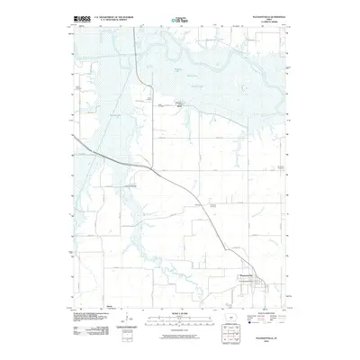
2010 Map of Pleasantville
USGS Topo · Published 2010About this map
The Des Moines River carves a winding path across the northern reaches of this Marion County landscape, creating a complex system of backwaters and oxbows. Near the riverbanks, the small settlement of Swan is positioned alongside Waller Lake, Spires Lake, and Thomas Lake, illustrating the community's historical relationship with the shifting river valley. To the south, the topography transitions into the structured agricultural grid surrounding Pleasantville, the area's primary population center.
Find a feature on this map
58 named features on this map. Tap any name to fly to it.
Don’t see what you’re looking for? This feature index may not catch every label — zoom into the map to look around manually.
Map Details
Editions of this 2010 Pleasantville Map
This is the sole edition of this map. No revisions or reprints were ever made.
Other maps of this area

1909 · Knoxville
USGS Topo · 1:62,500

1910 · Milo
USGS Topo · 1:62,500

1912 · Knoxville
USGS Topo · 1:62,500

1930 · Mitchellville
USGS Topo · 1:62,500

1954 · Des Moines
USGS Topo · 1:250,000

1956 · Des Moines
USGS Topo · 1:250,000

1957 · Des Moines
USGS Topo · 1:250,000

1965 · Pleasantville
USGS Topo · 1:24,000

1965 · Prairie City
USGS Topo · 1:24,000

1965 · Milo
USGS Topo · 1:24,000