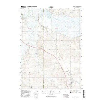
2015 Map of Pleasantville
USGS Topo · Published 2015About this map
Pleasantville serves as the primary hub in this corner of Marion County, where the landscape transitions from the developed streets of the town toward the complex river bottoms of the north. The Des Moines River meanders across the upper portion of the map, creating a broad floodplain marked by Waller Lake and Thomas Lake. This riparian corridor is flanked by the smaller settlements of Swan and Beech, connected by a network of rural routes such as Co RD g31.
Find a feature on this map
57 named features on this map. Tap any name to fly to it.
Don’t see what you’re looking for? This feature index may not catch every label — zoom into the map to look around manually.
Map Details
Editions of this 2015 Pleasantville Map
This is the sole edition of this map. No revisions or reprints were ever made.
Other maps of this area

1909 · Knoxville
USGS Topo · 1:62,500

1910 · Milo
USGS Topo · 1:62,500

1912 · Knoxville
USGS Topo · 1:62,500

1930 · Mitchellville
USGS Topo · 1:62,500

1954 · Des Moines
USGS Topo · 1:250,000

1956 · Des Moines
USGS Topo · 1:250,000

1957 · Des Moines
USGS Topo · 1:250,000

1965 · Pleasantville
USGS Topo · 1:24,000

1965 · Prairie City
USGS Topo · 1:24,000

1965 · Milo
USGS Topo · 1:24,000