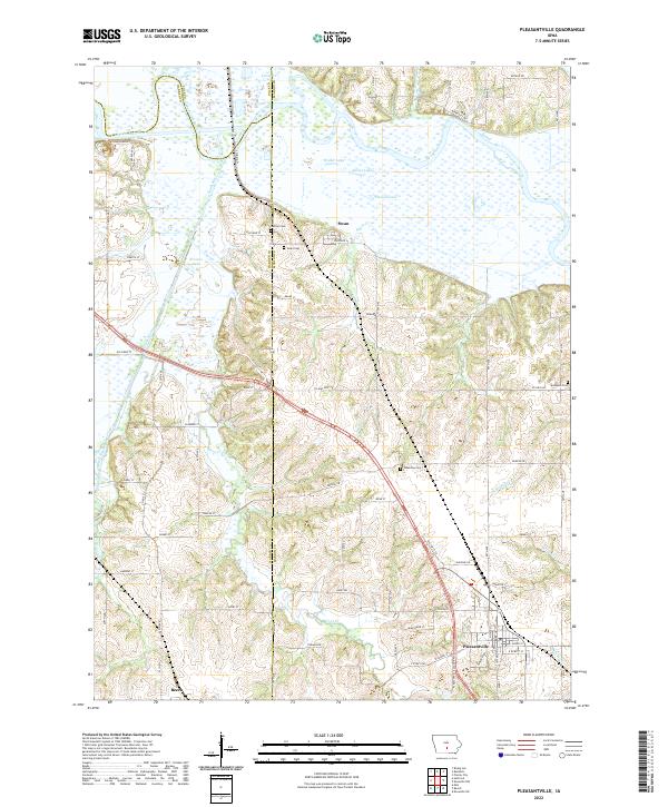
2022 Map of Pleasantville
USGS Topo · Published 2022About this map
The Des Moines River and its wide floodplain define the northern boundary of this landscape, where the South River joins the main channel amid a network of wetlands and oxbows like Waller Lake, Spires Lake, and Thomas Lake. The small settlement of Swan is positioned on the southern terrace of the river valley, characterized by a concentration of local history markers including the Swan Cem and Murray Cem.
Find a feature on this map
74 named features on this map. Tap any name to fly to it.
Don’t see what you’re looking for? This feature index may not catch every label — zoom into the map to look around manually.
Map Details
Editions of this 2022 Pleasantville Map
This is the sole edition of this map. No revisions or reprints were ever made.
Other maps of this area
1909 · Knoxville
USGS Topo · 1:62,500
1910 · Milo
USGS Topo · 1:62,500
1912 · Knoxville
USGS Topo · 1:62,500
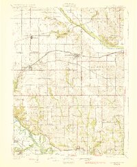
1930 · Mitchellville
USGS Topo · 1:62,500

1954 · Des Moines
USGS Topo · 1:250,000

1956 · Des Moines
USGS Topo · 1:250,000

1957 · Des Moines
USGS Topo · 1:250,000
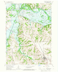
1965 · Pleasantville
USGS Topo · 1:24,000
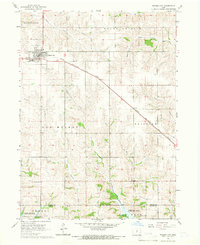
1965 · Prairie City
USGS Topo · 1:24,000
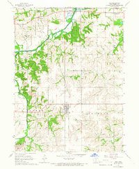
1965 · Milo
USGS Topo · 1:24,000