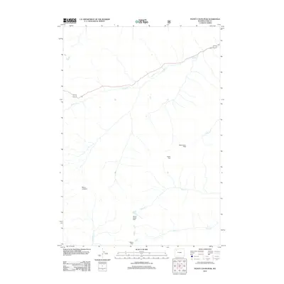
2012 Map of Plenty Coups Peak
USGS Topo · Published 2012About this map
Plenty Coups Peak stands as the central landmark in this high-elevation corner of Park County, where the drainages of several major creeks define the landscape. The northern portion of the map is dominated by the course of Middle Cr, which parallels the main road corridor through this mountain pass. To the south and east, the terrain is shaped by the headwaters of Cabin Cr, Canfield Cr, and Crouch Cr, creating a radial drainage pattern from the high summits. Several prominent peaks serve as topographical anchors, including Reservation Peak, Arthur Peak, and Mount Langford. The map captures the area as it was managed in the early 21st century, illustrating the relationship between steep mountain summits and the narrow riparian corridors of the Shoshone National Forest region. Historical surveyors and contemporary hikers alike use these named peaks and waterways to navigate this part of the Absaroka Range.
Find a feature on this map
10 named features on this map. Tap any name to fly to it.
Don’t see what you’re looking for? This feature index may not catch every label — zoom into the map to look around manually.
Map Details
Editions of this 2012 Plenty Coups Peak Map
This is the sole edition of this map. No revisions or reprints were ever made.
Other maps of this area

1885 · Lake
USGS Topo · 1:125,000

1886 · Canyon
USGS Topo · 1:125,000

1893 · Ishawooa
USGS Topo · 1:125,000

1895 · Ishawooa
USGS Topo · 1:125,000

1895 · Canyon
USGS Topo · 1:125,000

1895 · Lake
USGS Topo · 1:125,000

1896 · Lake
USGS Topo · 1:125,000

1896 · Canyon
USGS Topo · 1:125,000

1896 · Crandall Creek
USGS Topo · 1:125,000

1899 · Crandall
USGS Topo · 1:125,000