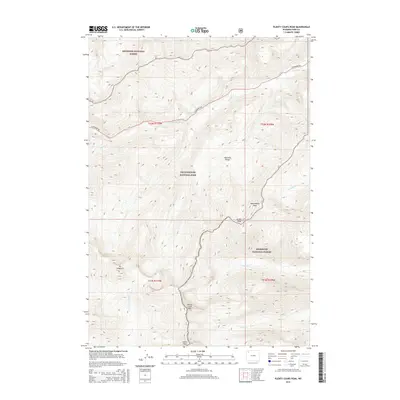
2015 Map of Plenty Coups Peak
USGS Topo · Published 2015About this map
Plenty Coups Peak and Atkins Peak anchor this high-elevation landscape in the eastern reaches of Yellowstone National Park. The map documents a critical boundary where the park meets the Shoshone National Forest, a line followed by the crest of the Absaroka Range. This 2015 survey illustrates how the high-country drainage network feeds into Middle Cr, which is paralleled by the E Entrance Rd as it winds toward the park's eastern gateway. The absence of development, save for this singular roadway, highlights the managed wilderness of northwestern Wyoming. Prominent landmarks like Mt Langford and Reservation Peak stand as geographic sentinels above the headwaters of Beaverdam Cr and Crouch Cr, defining a region shaped by glacial activity and volcanic geology.
Find a feature on this map
18 named features on this map. Tap any name to fly to it.
Don’t see what you’re looking for? This feature index may not catch every label — zoom into the map to look around manually.
Map Details
Editions of this 2015 Plenty Coups Peak Map
This is the sole edition of this map. No revisions or reprints were ever made.
Other maps of this area

1885 · Lake
USGS Topo · 1:125,000

1886 · Canyon
USGS Topo · 1:125,000

1893 · Ishawooa
USGS Topo · 1:125,000

1895 · Ishawooa
USGS Topo · 1:125,000

1895 · Canyon
USGS Topo · 1:125,000

1895 · Lake
USGS Topo · 1:125,000

1896 · Lake
USGS Topo · 1:125,000

1896 · Canyon
USGS Topo · 1:125,000

1896 · Crandall Creek
USGS Topo · 1:125,000

1899 · Crandall
USGS Topo · 1:125,000