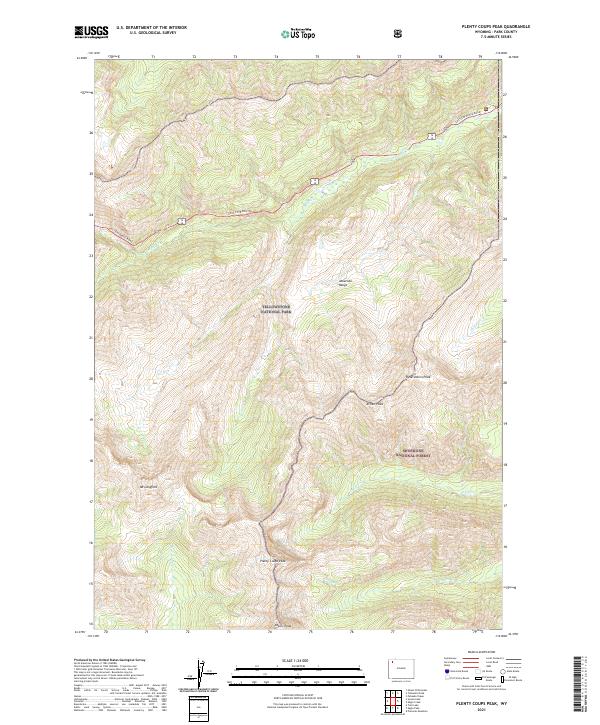
2021 Map of Plenty Coups Peak
USGS Topo · Published 2021About this map
The Absaroka Range defines this high-altitude landscape where the southeastern corner of Yellowstone National Park meets the Shoshone National Forest. This remote mountain environment is anchored by several prominent summits, including Mt Langford and the namesake Plenty Coups Peak. The terrain is deeply incised by drainages such as Middle Cr and Beaverdam Cr, illustrating the complex hydrology that feeds the region's larger river systems.
Find a feature on this map
18 named features on this map. Tap any name to fly to it.
Don’t see what you’re looking for? This feature index may not catch every label — zoom into the map to look around manually.
Map Details
Editions of this 2021 Plenty Coups Peak Map
This is the sole edition of this map. No revisions or reprints were ever made.
Other maps of this area

1885 · Lake
USGS Topo · 1:125,000

1886 · Canyon
USGS Topo · 1:125,000

1893 · Ishawooa
USGS Topo · 1:125,000

1895 · Ishawooa
USGS Topo · 1:125,000

1895 · Canyon
USGS Topo · 1:125,000

1895 · Lake
USGS Topo · 1:125,000

1896 · Lake
USGS Topo · 1:125,000

1896 · Canyon
USGS Topo · 1:125,000

1896 · Crandall Creek
USGS Topo · 1:125,000

1899 · Crandall
USGS Topo · 1:125,000