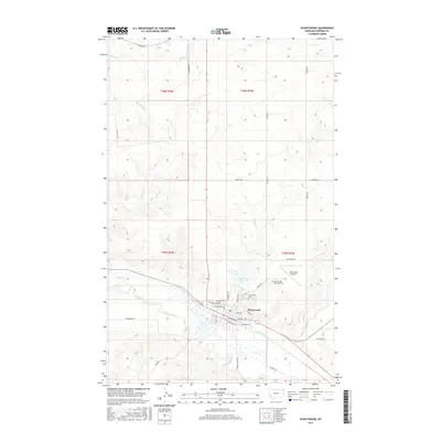
2017 Map of Plentywood
USGS Topo · Published 2017About this map
Plentywood serves as the primary hub in this northeastern Montana landscape, situated at the junction of the Big Muddy Cr and Boxelder Cr. The town's grid is meticulously detailed, showing residential and commercial streets such as Highland Ave, E Railroad Ave, and N Sheridan St. Outside the town center, the landscape is defined by the hydrologic network of McCoy Cr and Marron Cr, alongside notable landmarks like the Sher-Wood Airport and Boxelder Lake. Genealogists and local historians can locate the Plentywood Cem and Plentywood Memorial Cem on the northeastern edge of the settlement. The map illustrates a rural transport network of section-line roads, including Soo Line Rd and Incline Rd, reflecting the expansive agricultural and ranching layout of Sheridan County.
Find a feature on this map
41 named features on this map. Tap any name to fly to it.
Don’t see what you’re looking for? This feature index may not catch every label — zoom into the map to look around manually.
Map Details
Editions of this 2017 Plentywood Map
This is the sole edition of this map. No revisions or reprints were ever made.
Other maps of this area

1948 · Antelope
USGS Topo · 1:24,000

1949 · Antelope
USGS Topo · 1:24,000

1950 · Shippe Canyon
USGS Topo · 1:24,000

1954 · Wolf Point
USGS Topo · 1:250,000

1958 · Wolf Point
USGS Topo · 1:250,000

1983 · Plentywood NW
USGS Topo · 1:24,000

1983 · Dooley
USGS Topo · 1:24,000

1983 · Dooley SW
USGS Topo · 1:24,000

1983 · Kisler Butte
USGS Topo · 1:24,000

1983 · Plentywood
USGS Topo · 1:24,000