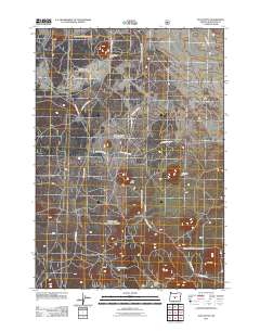
2011 Map of Plot Butte
USGS Topo · Published 2011About this map
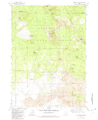
Lavacicle Cave Geological Area serves as a focal point for this section of the Oregon high desert, where volcanic landforms define the landscape. The area is characterized by numerous volcanic cones, including Mahogany Butte, Plot Butte, and Antelope Butte, which rise above the surrounding plateau. A complex network of Forest Service routes, such as Sand Springs Rd and Fox Butte Rd, provides access across the terrain, linking remote points like Watkins Flat and Ko Butte. The map documents a rugged interior of Deschutes County, highlighting the transition from open flats like Watkins Flat to the prominent heights of Watkins Butte at the southern edge of the survey. This 2011 record reflects the continued importance of geological preservation and resource management in the high desert, where natural volcanic features remain the primary landmarks for navigation and study.
Find a feature on this map
16 named features on this map. Tap any name to fly to it.
Don’t see what you’re looking for? This feature index may not catch every label — zoom into the map to look around manually.
Map Details
Editions of this 2011 Plot Butte Map
This is the sole edition of this map. No revisions or reprints were ever made.
Other maps of this area

1955 · Crescent
USGS Topo · 1:250,000

1957 · Crescent
USGS Topo · 1:250,000

1958 · Crescent
USGS Topo · 1:250,000

1966 · Millican SE
USGS Topo · 1:24,000
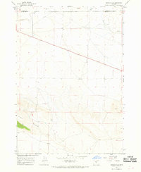
1967 · Brothers SW
USGS Topo · 1:24,000
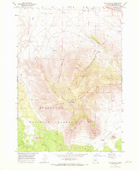
1967 · Pine Mountain
USGS Topo · 1:24,000

1970 · Crescent
USGS Topo · 1:250,000

1981 · Fox Butte
USGS Topo · 1:24,000
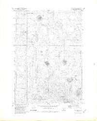
1981 · Plot Butte
USGS Topo · 1:24,000
1982 · Sixteen Butte
USGS Topo · 1:24,000