
1966 Map of Millican SE
USGS Topo · Published 1969About this map
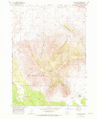
Pine Mountain dominates the central landscape of this central Oregon survey, providing a dramatic elevation contrast to the surrounding high desert. The area is largely defined by its position within the Deschutes National Forest, where the terrain transitions from the volcanic heights of Pine Ridge to the low-lying expanse of the Kotzman Basin. Water sources are notably scarce in this arid environment, evidenced by the presence of the Dry River and isolated points like Whitaker Holes and a single mapped Well. Evidence of modern infrastructure is visible at the Radio Facility Antelope perched on a high ridge, while a Borrow Pit in the north indicates localized resource extraction. The map also meticulously documents land management through a series of red dashed fence lines that segment the open range.
Find a feature on this map
12 named features on this map. Tap any name to fly to it.
Don’t see what you’re looking for? This feature index may not catch every label — zoom into the map to look around manually.
Map Details
Editions of this 1966 Millican SE Map
2 editions found
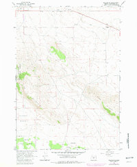
Other maps of this area

1955 · Crescent
USGS Topo · 1:250,000

1957 · Crescent
USGS Topo · 1:250,000

1958 · Crescent
USGS Topo · 1:250,000

1967 · Brothers NW
USGS Topo · 1:24,000
1967 · Brothers SW
USGS Topo · 1:24,000
1967 · West Butte
USGS Topo · 1:24,000
1967 · Millican
USGS Topo · 1:24,000
1967 · Pine Mountain
USGS Topo · 1:24,000

1970 · Crescent
USGS Topo · 1:250,000
1981 · Plot Butte
USGS Topo · 1:24,000