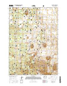
2017 Map of Plot Butte
USGS Topo · Published 2017About this map
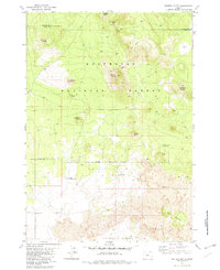
The high desert volcanic landscape of the Deschutes National Forest is defined here by a series of prominent volcanic buttes and seasonal water sources. The namesake Plot Butte rises above the center of the sheet, situated near the Plot Butte Waterhole, a critical resource in this arid terrain. The map records a complex network of forest development roads and primitive tracks, such as Sand Springs Rd and Mahogany Butte Rd, which navigate the rises of Mahogany Butte and Antelope Butte. To the south, Watkins Flat spreads between Watkins Butte and Ko Butte, illustrating the open, flat basins that punctuate the higher elevations. This topography of cinder cones and dry basins, including the ephemeral Dry Lake, highlights the specialized land management and natural history of the eastern Oregon high country.
Find a feature on this map
24 named features on this map. Tap any name to fly to it.
Don’t see what you’re looking for? This feature index may not catch every label — zoom into the map to look around manually.
Map Details
Editions of this 2017 Plot Butte Map
This is the sole edition of this map. No revisions or reprints were ever made.
Other maps of this area

1955 · Crescent
USGS Topo · 1:250,000

1957 · Crescent
USGS Topo · 1:250,000

1958 · Crescent
USGS Topo · 1:250,000

1966 · Millican SE
USGS Topo · 1:24,000
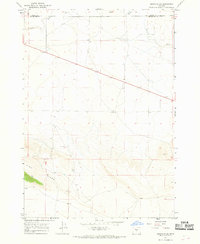
1967 · Brothers SW
USGS Topo · 1:24,000
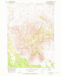
1967 · Pine Mountain
USGS Topo · 1:24,000

1970 · Crescent
USGS Topo · 1:250,000

1981 · Fox Butte
USGS Topo · 1:24,000
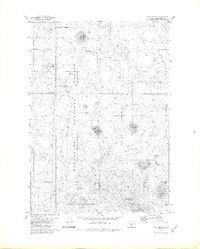
1981 · Plot Butte
USGS Topo · 1:24,000
1982 · Sixteen Butte
USGS Topo · 1:24,000