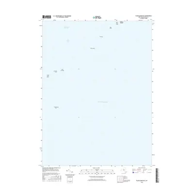
2016 Map of Plum Island OE E
USGS Topo · Published 2016About this map
The Race, a notable channel known for its strong tidal currents, dominates this maritime survey where Long Island Sound meets the Atlantic Ocean. The map documents a critical corridor for navigation, featuring the southwestern tip of Fishers Island and the isolated outcrops of Great Gull Island and Little Gull Island. These landforms, along with hazardous underwater features like Race Rock, Valiant Rock, and Constellation Rock, serve as essential markers for mariners navigating the eastern entrance of the sound.
Find a feature on this map
12 named features on this map. Tap any name to fly to it.
Don’t see what you’re looking for? This feature index may not catch every label — zoom into the map to look around manually.
Map Details
Editions of this 2016 Plum Island OE E Map
This is the sole edition of this map. No revisions or reprints were ever made.
Other maps of this area

1889 · Stonington
USGS Topo · 1:62,500

1892 · New London
USGS Topo · 1:62,500

1893 · Stonington
USGS Topo · 1:62,500

1893 · New London
USGS Topo · 1:62,500

1903 · Gardiners Island
USGS Topo · 1:62,500

1904 · Gardiners Island
USGS Topo · 1:62,500

1904 · Montauk
USGS Topo · 1:62,500

1921 · Gardiners Island
USGS Topo · 1:62,500

1921 · New London
USGS Topo · 1:62,500

1921 · Stonington
USGS Topo · 1:62,500