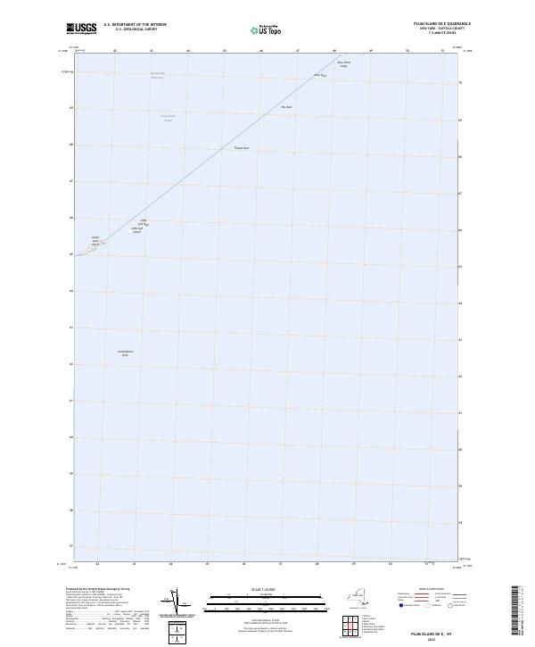
2023 Map of Plum Island OE E
USGS Topo · Published 2023About this map
Long Island Sound and the high-energy waters of The Race dominate this maritime survey of the eastern approach from the Atlantic. The landscape is defined by small, isolated landmasses such as Great Gull Island and Little Gull Island, which serve as critical navigational markers in a treacherous stretch of sea. These islands and the nearby Little Gull Reef represent the skeletal remains of glacial moraines that once connected the forks of Long Island to the mainland. Submerged hazards like Valiant Rock and Constellation Rock illustrate why this passage required careful charting, even with the modern presence of the Intracoastal Waterway. The map captures the nautical character of the region, where the underwater topography of Race Point Ledge and Race Rock is just as significant to local history as the dry land.
Find a feature on this map
10 named features on this map. Tap any name to fly to it.
Don’t see what you’re looking for? This feature index may not catch every label — zoom into the map to look around manually.
Map Details
Editions of this 2023 Plum Island OE E Map
This is the sole edition of this map. No revisions or reprints were ever made.
Other maps of this area

1889 · Stonington
USGS Topo · 1:62,500

1892 · New London
USGS Topo · 1:62,500

1893 · Stonington
USGS Topo · 1:62,500

1893 · New London
USGS Topo · 1:62,500

1903 · Gardiners Island
USGS Topo · 1:62,500

1904 · Gardiners Island
USGS Topo · 1:62,500

1904 · Montauk
USGS Topo · 1:62,500

1921 · Gardiners Island
USGS Topo · 1:62,500

1921 · New London
USGS Topo · 1:62,500

1921 · Stonington
USGS Topo · 1:62,500