2022 Map of Plummer
USGS Topo · Published 2022About this map
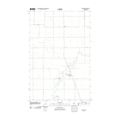
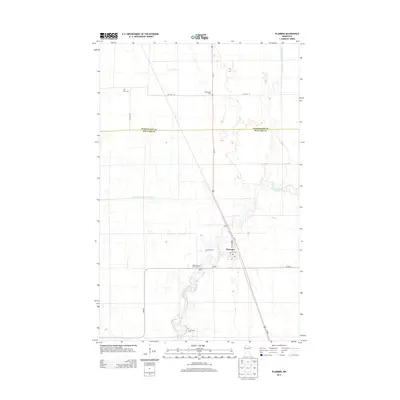
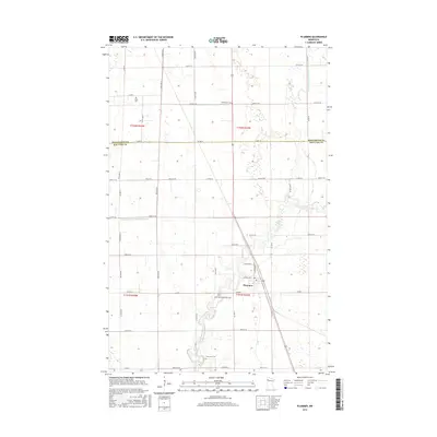
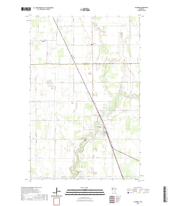
Plummer serves as the primary hub of this Red Lake County landscape, situated where the Clearwater River winds through a grid of agricultural sections and drainage infrastructure. The town's layout is defined by streets like Central Ave and Nurmi Ave N, providing a clear view of the village's footprint in the early 21st century. The surrounding countryside is marked by several significant burial sites that anchor the local genealogy, including Clara Lutheran Cem to the north and Saint Vincent De Paul Cem just south of the town center. The presence of Emardville Cem and Clearwater Cem further indicates the scattered settlement pattern of the region. This 2022 survey also details the extensive water management systems essential to the area's geography, such as County Ditch Number Thirtyseven and County Ditch Number Sixtytwo, which facilitate the drainage of the flat prairie lands into the river valley.
Find a feature on this map
48 named features on this map. Tap any name to fly to it.
Don’t see what you’re looking for? This feature index may not catch every label — zoom into the map to look around manually.
Map Details
Editions of this 2022 Plummer Map
This is the sole edition of this map. No revisions or reprints were ever made.
Historical Maps of Plummer Through Time
6 maps found