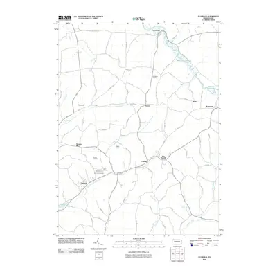
2010 Map of Plumville
USGS Topo · Published 2010About this map
Plumville and the surrounding townships of Indiana County appear here in a landscape defined by the winding paths of Cowanshannock Creek and the North Branch Plum Creek. The rural character of the region is punctuated by small settlements like Smicksburg, Beyer, and Sagamore, each connected by a dense network of country roads. The map reveals a high concentration of local heritage sites, including the Sacred Heart Cemetery and the multi-denominational Saints Peter and Paul Cemetery Saint Johns Cemetery near the southern border.
Find a feature on this map
74 named features on this map. Tap any name to fly to it.
Don’t see what you’re looking for? This feature index may not catch every label — zoom into the map to look around manually.
Map Details
Editions of this 2010 Plumville Map
This is the sole edition of this map. No revisions or reprints were ever made.
Other maps of this area

1901 · Rural Valley
USGS Topo · 1:62,500

1902 · Indiana
USGS Topo · 1:62,500

1902 · Elders Ridge
USGS Topo · 1:62,500

1903 · Rural Valley
USGS Topo · 1:62,500

1904 · Elders Ridge
USGS Topo · 1:62,500

1909 · Smicksburg
USGS Topo · 1:62,500

1938 · Smicksburg
USGS Topo · 1:62,500

1939 · Smicksburg
USGS Topo · 1:62,500

1953 · Pittsburgh
USGS Topo · 1:250,000

1954 · Pittsburgh
USGS Topo · 1:250,000