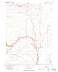
1967 Map of Plush
USGS Topo · Published 1975About this map
Plush sits at the edge of the expansive Warner Valley in Lake County, serving as a vital outpost in this arid corner of Oregon. This late-1960s survey documents the community's infrastructure, including a Well, several Gravel Pits, and a Landing Strip, reflecting the practical requirements of ranching and remote living. The landscape is defined by the sharp transition from the elevated draws of the west, such as Juniper Draw and Miners Draw, down to the basin floors. Water management is central to the area's geography, evidenced by a Gaging Station on Honey Creek and the presence of Juniper Spring. The map also captures the western boundary of the Hart Mtn. National Antelope Refuge, where the valley meets the shores of Hart Lake and the intermittent Warner Lakes system, highlighting the region's environmental significance.
Find a feature on this map
17 named features on this map. Tap any name to fly to it.
Don’t see what you’re looking for? This feature index may not catch every label — zoom into the map to look around manually.
Map Details
Editions of this 1967 Plush Map
3 editions found
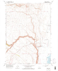
Other maps of this area

1955 · Klamath Falls
USGS Topo · 1:250,000

1955 · Adel
USGS Topo · 1:250,000

1957 · Adel
USGS Topo · 1:250,000

1958 · Klamath Falls
USGS Topo · 1:250,000

1958 · Adel
USGS Topo · 1:250,000

1962 · Adel
USGS Topo · 1:250,000

1967 · Flagstaff Lake
USGS Topo · 1:24,000

1967 · Plush
USGS Topo · 1:24,000

1967 · Rabbit Hills SW
USGS Topo · 1:24,000

1967 · Priday Reservoir
USGS Topo · 1:24,000