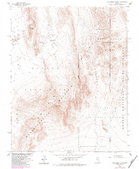
1960 Map of Plutonium Valley
USGS Topo · Published 1984About this map
Nevada Test Site operations define this landscape in the high desert, where the Atomic Energy Commission coordinated intensive activity across Plutonium Valley and the surrounding basins. The map documents the stark infrastructure of mid-century nuclear testing, including multiple Blast Centers, a Bunker, and a Radioactive Waste Dump situated near the Yucca Flat border. These technical sites are positioned between prominent landforms like Massachusetts Mountain and the high point at French Peak. To the east, the Nellis Air Force Range and Raysonde Buttes mark the transition toward the Desert National Wildlife Range. The presence of Area 11, Area 6, and Area 5 designations reflects the military and scientific partitioning of the desert floor, interconnected by a network of unimproved roads and a Jeep Trail system.
Find a feature on this map
23 named features on this map. Tap any name to fly to it.
Don’t see what you’re looking for? This feature index may not catch every label — zoom into the map to look around manually.
Map Details
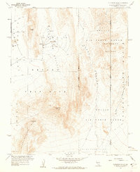
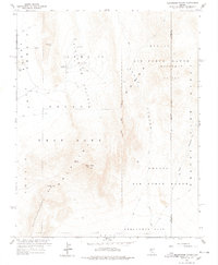
Editions of this 1960 Plutonium Valley Map
3 editions found
Other maps of this area

1907 · Las Vegas
USGS Topo · 1:250,000

1908 · Kawich
USGS Topo · 1:250,000

1908 · Furnace Creek
USGS Topo · 1:250,000

1908 · Las Vegas
USGS Topo · 1:250,000

1910 · Furnace Creek
USGS Topo · 1:250,000

1942 · Emigrant Valley
USGS Topo · 1:125,000

1942 · Indian Spring
USGS Topo · 1:125,000

1942 · Wheelbarrow Peak
USGS Topo · 1:125,000

1942 · Skull Mountain
USGS Topo · 1:125,000

1948 · Death Valley
USGS Topo · 1:250,000