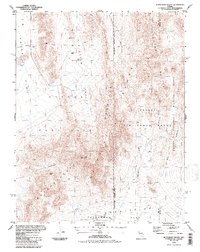
1986 Map of Plutonium Valley
USGS Topo · Published 1987About this map
Nevada Test Site infrastructure dominates this mid-1980s landscape, reflecting the intensive government activities within the Restricted Access Area. The terrain is defined by dramatic topographical depressions and dry basins, most notably Yucca Lake in the northwest and Frenchman Flat to the south. Between these flats, the landscape rises sharply into Massachusetts Mountain and peaks such as French Peak.
Find a feature on this map
23 named features on this map. Tap any name to fly to it.
Don’t see what you’re looking for? This feature index may not catch every label — zoom into the map to look around manually.
Map Details
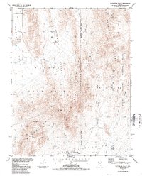
Editions of this 1986 Plutonium Valley Map
2 editions found
Other maps of this area

1907 · Las Vegas
USGS Topo · 1:250,000

1908 · Kawich
USGS Topo · 1:250,000

1908 · Furnace Creek
USGS Topo · 1:250,000

1908 · Las Vegas
USGS Topo · 1:250,000

1910 · Furnace Creek
USGS Topo · 1:250,000

1942 · Emigrant Valley
USGS Topo · 1:125,000

1942 · Indian Spring
USGS Topo · 1:125,000

1942 · Wheelbarrow Peak
USGS Topo · 1:125,000

1942 · Skull Mountain
USGS Topo · 1:125,000

1948 · Death Valley
USGS Topo · 1:250,000