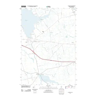
2011 Map of Plymouth
USGS Topo · Published 2011About this map
Sebasticook Lake and the winding course of Martin Stream define this portion of Penobscot County, where the village of Plymouth sits at the southern edge of its namesake Plymouth Pond. This 2011 survey illustrates the rural character of the region, anchored by the settlement of East Newport and the various lakeside developments. The landscape is marked by prominent elevations like Billings Hill and Abbott Hill, while the water network is further expanded by Buzzell Stream and Stetson Stream. Local history is preserved at the Palmer Cemetery, located north of the main east-west thoroughfares. Infrastructure such as the Newport Sky Park and the Durham Bridge over the narrows of the lake show the modern adaptation of this traditional Maine countryside, alongside established recreation sites like Christies Campground.
Find a feature on this map
64 named features on this map. Tap any name to fly to it.
Don’t see what you’re looking for? This feature index may not catch every label — zoom into the map to look around manually.
Map Details
Editions of this 2011 Plymouth Map
This is the sole edition of this map. No revisions or reprints were ever made.
Other maps of this area

1926 · Burnham
USGS Topo · 1:62,500

1930 · Pittsfield
USGS Topo · 1:48,000

1931 · Stetson
USGS Topo · 1:48,000

1932 · Brooks
USGS Topo · 1:62,500

1932 · Pittsfield
USGS Topo · 1:62,500

1933 · Pittsfield
USGS Topo · 1:62,500

1935 · Stetson
USGS Topo · 1:62,500

1948 · Bangor
USGS Topo · 1:250,000

1955 · Pittsfield
USGS Topo · 1:62,500

1955 · Brooks
USGS Topo · 1:62,500