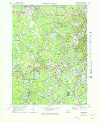
1977 Map of Plymouth
USGS Topo · Published 1978About this map
Cranberry Bogs dominate the landscape of the South Shore in the mid-1970s, illustrating the specialized agricultural heritage of Plympton and Carver. The intricate network of irrigation and wetlands follows the winding paths of the Winnetuxet River and Jones River, with vast areas dedicated to the berry industry surrounding Little Cedar Swamp and Turkey Swamp. These hydrological patterns are the defining characteristic of the region, connecting smaller hamlets such as Eddyville, North Carver, and Waterville.
Find a feature on this map
80 named features on this map. Tap any name to fly to it.
Don’t see what you’re looking for? This feature index may not catch every label — zoom into the map to look around manually.
Map Details
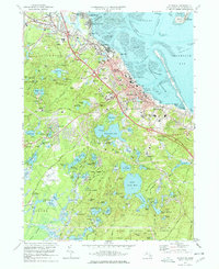
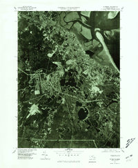
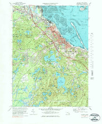
Editions of this 1977 Plymouth Map
4 editions found
Other maps of this area

1885 · Abington
USGS Topo · 1:62,500

1885 · Duxbury
USGS Topo · 1:62,500

1885 · Middleboro
USGS Topo · 1:62,500

1886 · Plymouth
USGS Topo · 1:62,500

1888 · Duxbury
USGS Topo · 1:62,500

1888 · Middleboro
USGS Topo · 1:62,500

1888 · Abington
USGS Topo · 1:62,500

1889 · Plymouth
USGS Topo · 1:62,500

1893 · Abington
USGS Topo · 1:62,500

1893 · Duxbury
USGS Topo · 1:62,500