
1977 Map of Plymouth
USGS Topo · Published 1981About this map
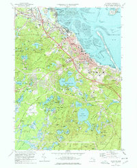
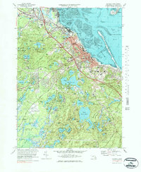
Plymouth and the surrounding coastline are captured in this 1977 orthophotograph, showcasing the suburban development and wooded ponds of the South Shore during the late twentieth century. The imagery provides a clear view of the complex hydrology of the region, where the Jones River flows into the northern reaches near Kingston, and the expansive Billington Sea and South Pond dominate the interior landscape. The dense network of residential streets and highways contrasts with the preserved wetlands and tidal flats along Plymouth Bay, offering a detailed record of land use before further modern expansion.
Find a feature on this map
9 named features on this map. Tap any name to fly to it.
Don’t see what you’re looking for? This feature index may not catch every label — zoom into the map to look around manually.
Map Details
Editions of this 1977 Plymouth Map
4 editions found
Other maps of this area

1885 · Abington
USGS Topo · 1:62,500

1885 · Duxbury
USGS Topo · 1:62,500

1885 · Middleboro
USGS Topo · 1:62,500

1886 · Plymouth
USGS Topo · 1:62,500

1888 · Duxbury
USGS Topo · 1:62,500

1888 · Middleboro
USGS Topo · 1:62,500

1888 · Abington
USGS Topo · 1:62,500

1889 · Plymouth
USGS Topo · 1:62,500

1893 · Abington
USGS Topo · 1:62,500

1893 · Duxbury
USGS Topo · 1:62,500