2022 Map of Plymouth South
USGS Topo · Published 2022About this map
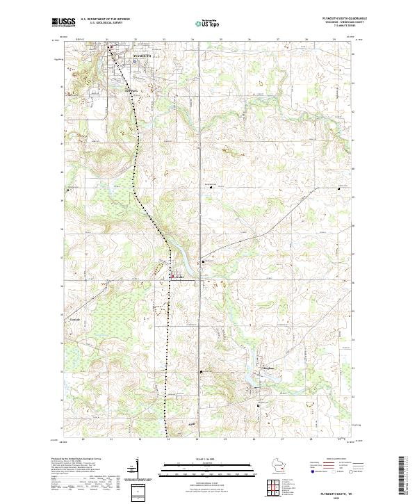
Plymouth anchors the northern reaches of this Sheboygan County landscape, where the Mullet River winds eastward through the city’s residential streets. The terrain is defined by its small agricultural centers and the intricate path of the Onion River, which links the settlements of Waldo, Hingham, and Adell. A distinct concentration of cemeteries, including Winooski Cem, Evergreen Cem, and Farmin Cem, provides essential points of reference for those researching local family histories and early land divisions.
Find a feature on this map
50 named features on this map. Tap any name to fly to it.
Don’t see what you’re looking for? This feature index may not catch every label — zoom into the map to look around manually.
Map Details
Editions of this 2022 Plymouth South Map
This is the sole edition of this map. No revisions or reprints were ever made.
Historical Maps of Sheboygan Falls Through Time
12 maps found
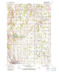
1954 Franklin
Sheboygan County, WI
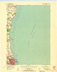
1954 Sheboygan North
Sheboygan County, WI
1954 Sheboygan North
Sheboygan County, WI
1954 Sheboygan South
Sheboygan County, WI

1954 Sheboygan South
Sheboygan County, WI
1974 Plymouth South
Sheboygan County, WI
1992 Franklin
Sheboygan County, WI
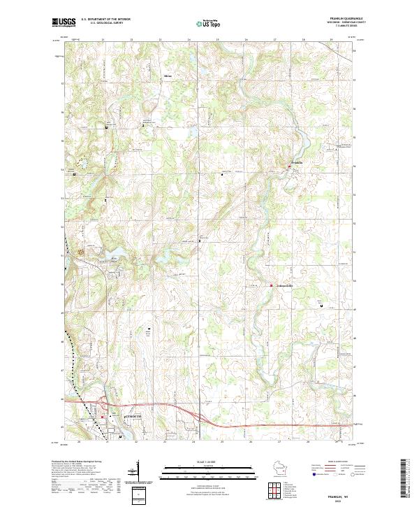
2022 Franklin
Sheboygan County, WI
2022 Plymouth South
Sheboygan County, WI
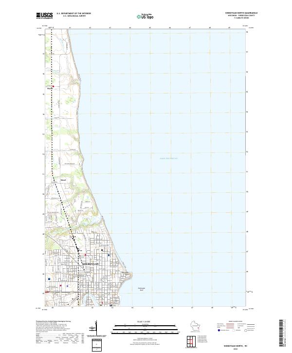
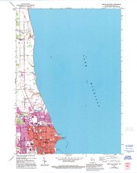
2022 Sheboygan North
Sheboygan County, WI
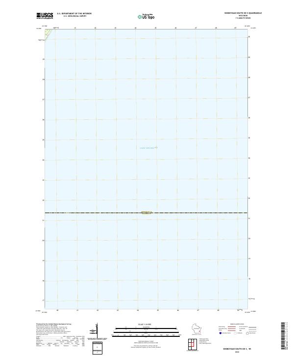
2022 Sheboygan South OE S
Sheboygan County, WI
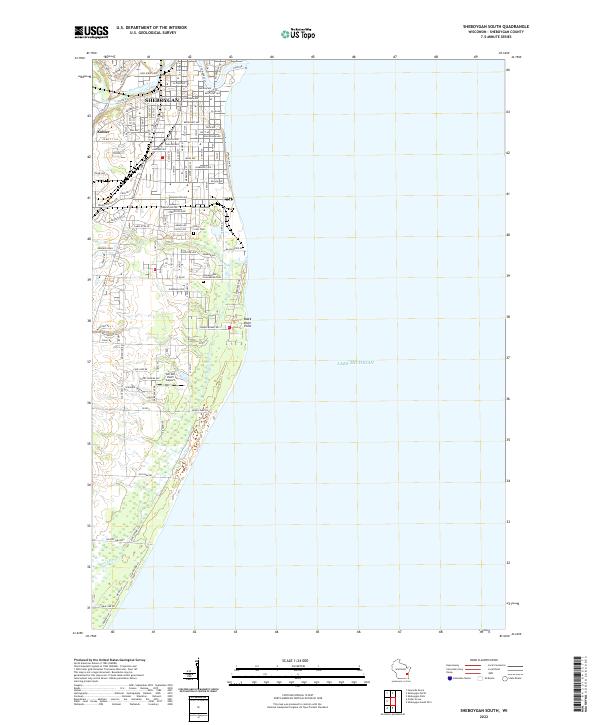
2022 Sheboygan South
Sheboygan County, WI