2022 Map of Sheboygan North
USGS Topo · Published 2022About this map
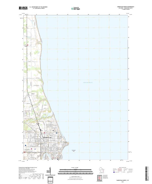
Sheboygan dominates the southern reaches of this Wisconsin lakefront landscape, where the urban grid meets the western shores of Lake Michigan. This modern survey details the city's northward expansion through the town of Mosel toward the small settlement of Hayen. Significant civic and local history sites are prominent, including the Sheboygan County Courthouse and established grounds like Wildwood Cem and Calvary Cem.
Find a feature on this map
97 named features on this map. Tap any name to fly to it.
Don’t see what you’re looking for? This feature index may not catch every label — zoom into the map to look around manually.
Map Details
Editions of this 2022 Sheboygan North Map
This is the sole edition of this map. No revisions or reprints were ever made.
Historical Maps of Sheboygan Through Time
12 maps found
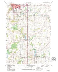
1954 Franklin
Sheboygan County, WI
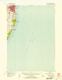
1954 Sheboygan North
Sheboygan County, WI
1954 Sheboygan North
Sheboygan County, WI
1954 Sheboygan South
Sheboygan County, WI
1954 Sheboygan South
Sheboygan County, WI
1974 Plymouth South
Sheboygan County, WI
1992 Franklin
Sheboygan County, WI
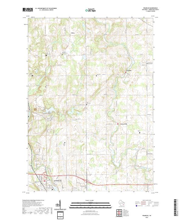
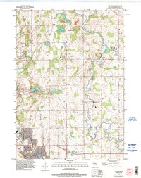
2022 Franklin
Sheboygan County, WI
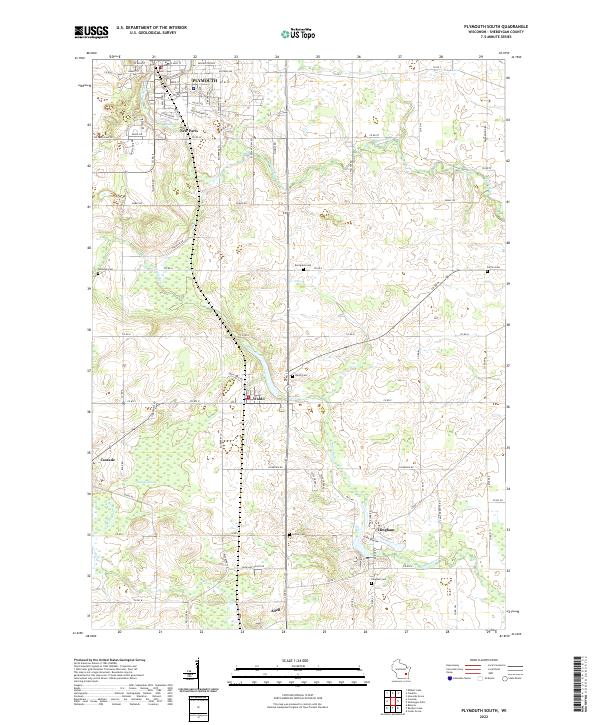
2022 Plymouth South
Sheboygan County, WI
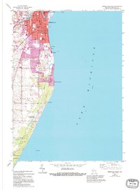
2022 Sheboygan North
Sheboygan County, WI
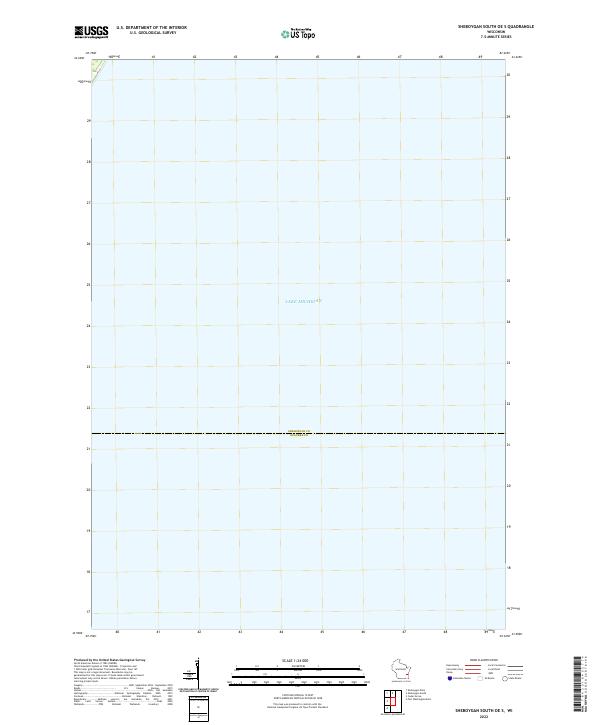
2022 Sheboygan South OE S
Sheboygan County, WI
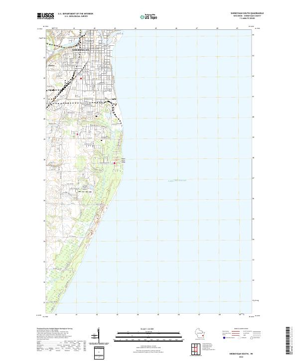
2022 Sheboygan South
Sheboygan County, WI