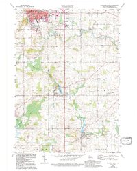
1974 Map of Plymouth South
USGS Topo · Published 1995About this map
The Mullet River and Onion River valley south of Plymouth reveals a landscape defined by 19th-century water power and small-scale agriculture. The villages of Waldo and Hingham are anchored by their respective industrial water bodies, the Waldo Mill Pond and Hingham Mill Pond, reflecting the importance of milling to these early settlements. Along the eastern edge, the Chicago and North Western corridor links these rural communities, while specialized institutions like the Willow Glen Academy and the County Hospital near Lima point to the area's social infrastructure.
Find a feature on this map
52 named features on this map. Tap any name to fly to it.
Don’t see what you’re looking for? This feature index may not catch every label — zoom into the map to look around manually.
Map Details
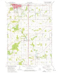
Editions of this 1974 Plymouth South Map
2 editions found
Other maps of this area

1954 · Sheboygan Falls
USGS Topo · 1:62,500

1954 · Sheboygan Falls
USGS Topo · 1:24,000

1954 · Howards Grove
USGS Topo · 1:62,500

1954 · Howards Grove
USGS Topo · 1:24,000

1954 · Franklin
USGS Topo · 1:24,000

1954 · Kiel
USGS Topo · 1:62,500

1954 · Milwaukee
USGS Topo · 1:250,000

1955 · Kewaskum
USGS Topo · 1:62,500

1957 · Madison
USGS Topo · 1:250,000

1958 · Milwaukee
USGS Topo · 1:250,000