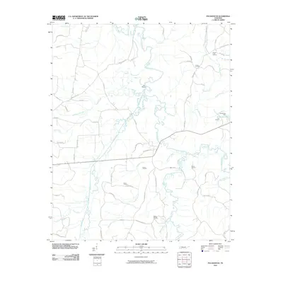
2010 Map of Pocahontas
USGS Topo · Published 2010About this map
The Hatchie River and Tuscumbia River converge in this corner of Hardeman County, defining a landscape of complex bottomlands and winding tributaries. Small family and community burying grounds are scattered throughout the territory, providing a clear record of local settlement patterns through sites like Bethel Cemetery, Essary Springs Cemetery, and Eureka Cemetery. The area around Pocahontas Lake is marked by the Pocahontas Dam and Kirk Cemetery, while the intriguing label The Mound suggests an ancient human presence near the banks of the Hatchie River. Numerous local roads, such as Coal Shute Rd and Block Church Rd, hint at the historic industrial and social hubs that once anchored this rural Tennessee community at the turn of the 21st century.
Find a feature on this map
61 named features on this map. Tap any name to fly to it.
Don’t see what you’re looking for? This feature index may not catch every label — zoom into the map to look around manually.
Map Details
Editions of this 2010 Pocahontas Map
This is the sole edition of this map. No revisions or reprints were ever made.
Other maps of this area

1950 · Corinth
USGS Topo · 1:62,500

1950 · Pocahontas
USGS Topo · 1:24,000

1950 · Hebron
USGS Topo · 1:24,000

1950 · Hornsby
USGS Topo · 1:24,000

1950 · Middleton
USGS Topo · 1:24,000

1951 · Middleton
USGS Topo · 1:24,000

1951 · Hebron
USGS Topo · 1:24,000

1951 · Hornsby
USGS Topo · 1:24,000

1951 · Chewalla
USGS Topo · 1:24,000

1951 · Rose Creek
USGS Topo · 1:24,000