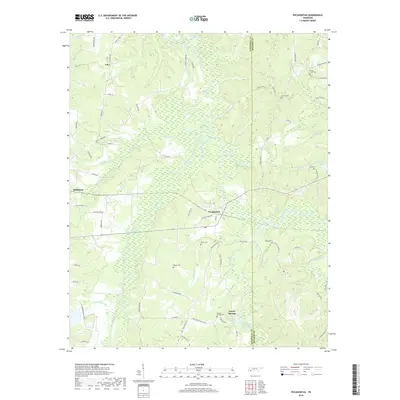
2019 Map of Pocahontas
USGS Topo · Published 2019About this map
Pocahontas stands at a central junction where rail lines once converged amidst the lowlands of the Hatchie River. The landscape here is defined by a dense network of watercourses and wetlands, including Muddy Creek Ditch, Mosses Creek, and the winding Tuscumbia River. These waterways have long shaped the settlement patterns along the Hardeman and McNairy county line, where small communities like Middleton and Lacy are scattered across the higher ground between creek bottoms.
Find a feature on this map
75 named features on this map. Tap any name to fly to it.
Don’t see what you’re looking for? This feature index may not catch every label — zoom into the map to look around manually.
Map Details
Editions of this 2019 Pocahontas Map
This is the sole edition of this map. No revisions or reprints were ever made.
Other maps of this area

1950 · Corinth
USGS Topo · 1:62,500

1950 · Pocahontas
USGS Topo · 1:24,000

1950 · Hebron
USGS Topo · 1:24,000

1950 · Hornsby
USGS Topo · 1:24,000

1950 · Middleton
USGS Topo · 1:24,000

1951 · Middleton
USGS Topo · 1:24,000

1951 · Hebron
USGS Topo · 1:24,000

1951 · Hornsby
USGS Topo · 1:24,000

1951 · Chewalla
USGS Topo · 1:24,000

1951 · Rose Creek
USGS Topo · 1:24,000