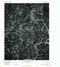
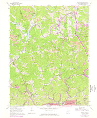
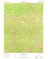
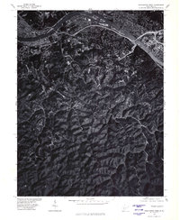
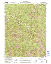
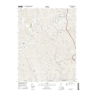
1977 Map of Pocatalico
USGS Topo · Published 1980About this map
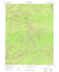
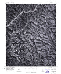
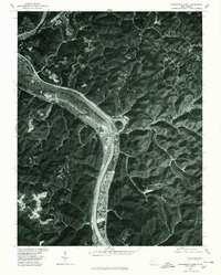
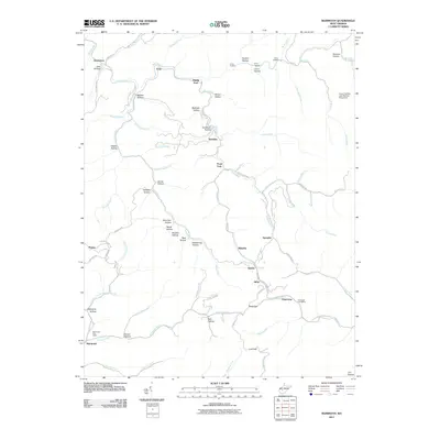
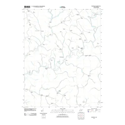
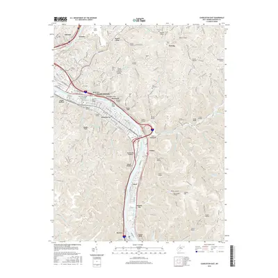
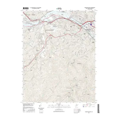
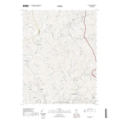
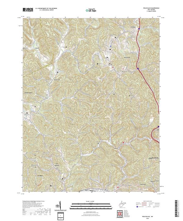
The Pocatalico River winds through the deeply dissected landscape of Kanawha County in this late-1970s orthophotoquad. Unlike a traditional topographic map, this aerial perspective provides a literal view of the dense forest cover and ridge-top development patterns characteristic of West Virginia's interior. Small residential clusters like Pocatalico, Guthrie, and Edgewood are visible as they follow the natural contours of the valley floors and narrow level ground. The orthophoto format, produced by the Geological Survey in cooperation with the Soil Conservation Service, captures the exact texture of the land, from the winding paths of rural roads to the stark contrasts between the cleared hillsides and the heavily timbered ravines of the Appalachian Plateau.
Find a feature on this map
4 named features on this map. Tap any name to fly to it.
Don’t see what you’re looking for? This feature index may not catch every label — zoom into the map to look around manually.
Map Details
Editions of this 1977 Pocatalico Map
This is the sole edition of this map. No revisions or reprints were ever made.
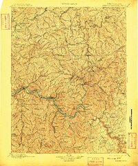
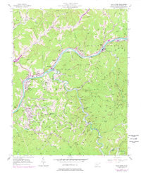
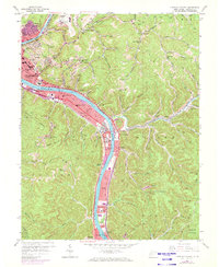
Historical Maps of Charleston Through Time
55 maps found

1897 Kanawha Falls
Kanawha County, WV

1900 Kanawha Falls
Kanawha County, WV
1901 Kanawha Falls
Kanawha County, WV
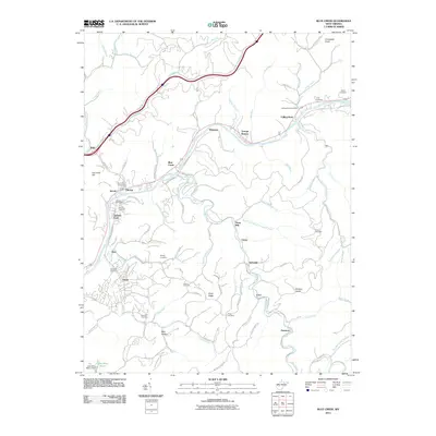
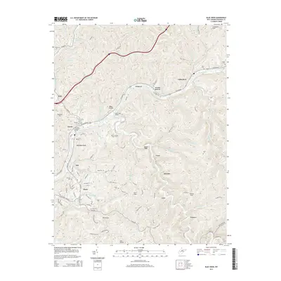
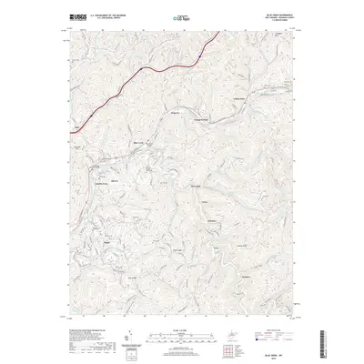
1957 Blue Creek
Kanawha County, WV
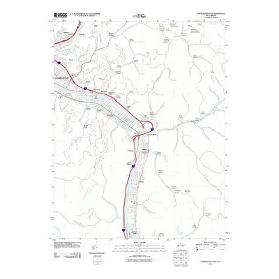
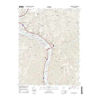
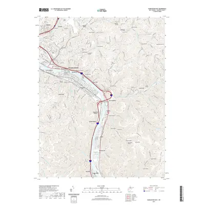
1957 Charleston East
Kanawha County, WV
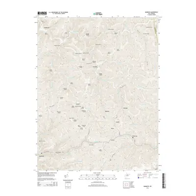
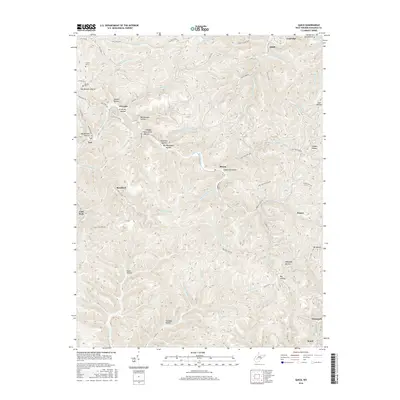
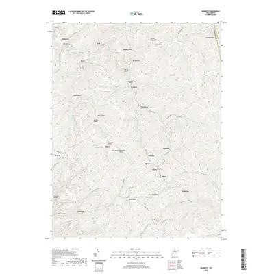
1957 Mammoth
Kanawha County, WV
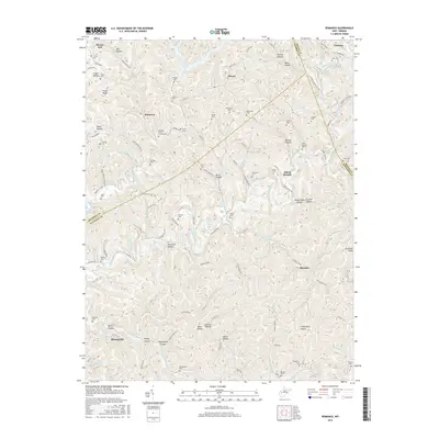
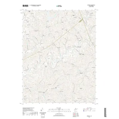
1957 Romance
Kanawha County, WV
1958 Charleston East
Kanawha County, WV
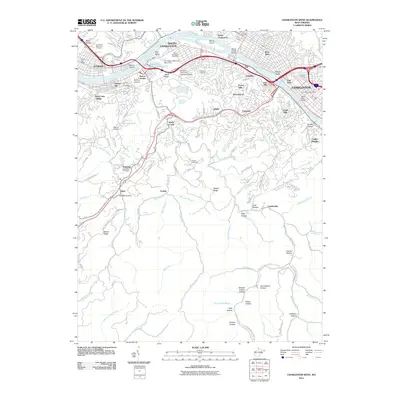
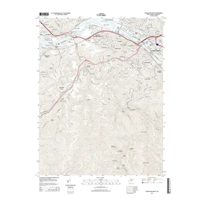
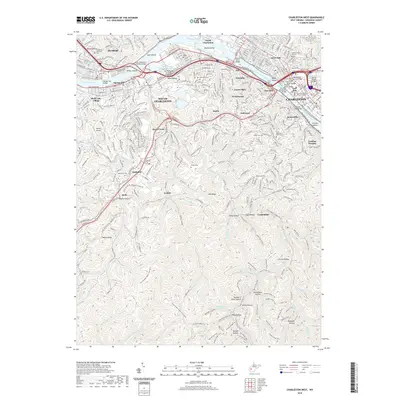
1958 Charleston West
Kanawha County, WV
1958 Pocatalico
Kanawha County, WV
1958 Quick
Kanawha County, WV
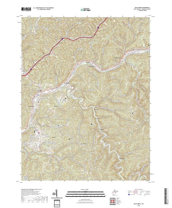
1977 Blue Creek
Kanawha County, WV
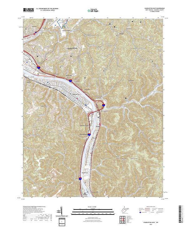
1977 Charleston East
Kanawha County, WV
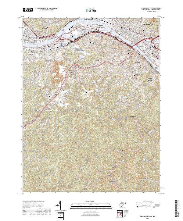
1977 Charleston West
Kanawha County, WV
1977 Pocatalico
Kanawha County, WV

1994 Pocatalico
Kanawha County, WV
1996 Charleston East
Kanawha County, WV
1996 Charleston West
Kanawha County, WV
1996 Mammoth
Kanawha County, WV
2000 Quick
Kanawha County, WV
2011 Blue Creek
Kanawha County, WV
2011 Charleston East
Kanawha County, WV
2011 Charleston West
Kanawha County, WV
2011 Mammoth
Kanawha County, WV
2011 Pocatalico
Kanawha County, WV
2011 Quick
Kanawha County, WV
2011 Romance
Kanawha County, WV
2014 Blue Creek
Kanawha County, WV
2014 Charleston East
Kanawha County, WV
2014 Charleston West
Kanawha County, WV
2014 Mammoth
Kanawha County, WV
2014 Pocatalico
Kanawha County, WV
2014 Quick
Kanawha County, WV
2014 Romance
Kanawha County, WV
2016 Blue Creek
Kanawha County, WV
2016 Charleston East
Kanawha County, WV
2016 Charleston West
Kanawha County, WV
2016 Mammoth
Kanawha County, WV
2016 Pocatalico
Kanawha County, WV
2016 Quick
Kanawha County, WV
2016 Romance
Kanawha County, WV
2019 Blue Creek
Kanawha County, WV
2019 Charleston East
Kanawha County, WV
2019 Charleston West
Kanawha County, WV
2019 Mammoth
Kanawha County, WV
2019 Pocatalico
Kanawha County, WV
2019 Quick
Kanawha County, WV
2019 Romance
Kanawha County, WV
2023 Blue Creek
Kanawha County, WV
2023 Charleston East
Kanawha County, WV
2023 Charleston West
Kanawha County, WV
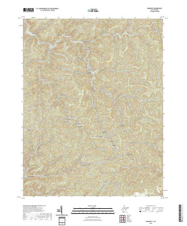
2023 Mammoth
Kanawha County, WV
2023 Pocatalico
Kanawha County, WV
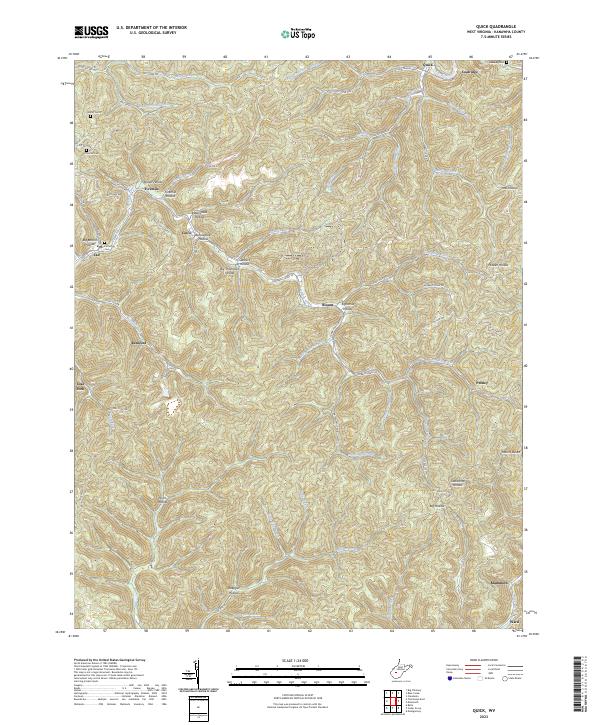
2023 Quick
Kanawha County, WV
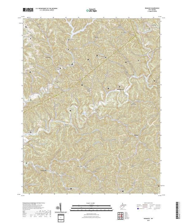
2023 Romance
Kanawha County, WV