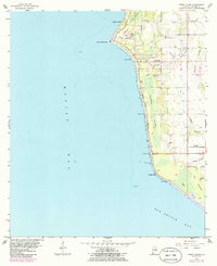
1956 Map of Point Clear
USGS Topo · Published 1986About this map
Mobile Bay defines the western edge of this coastal survey, where the shoreline is punctuated by historic landing sites and small communities. The map captures a period of growth along Eastern Shore Boulevard, connecting established settlements like Battles Wharf and Great Point Clear. Further inland, the terrain is characterized by intricate drainage systems such as Caldwell Swamp and Ghost Head Swamp, which feed into the bay.
Find a feature on this map
35 named features on this map. Tap any name to fly to it.
Don’t see what you’re looking for? This feature index may not catch every label — zoom into the map to look around manually.
Map Details
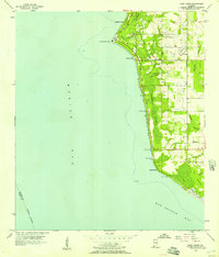
Editions of this 1956 Point Clear Map
2 editions found
Other maps of this area

1921 · Point Clear
USGS Topo · 1:62,500

1921 · Fairhope
USGS Topo · 1:62,500

1921 · Delchamps
USGS Topo · 1:62,500

1922 · Mobile
USGS Topo · 1:62,500

1939 · Daphne
USGS Topo · 1:31,680

1940 · Silverhill
USGS Topo · 1:31,680

1940 · Hollingers Island
USGS Topo · 1:31,680

1940 · Mobile
USGS Topo · 1:62,500

1941 · Daphne
USGS Topo · 1:31,680

1941 · Silverhill
USGS Topo · 1:31,680