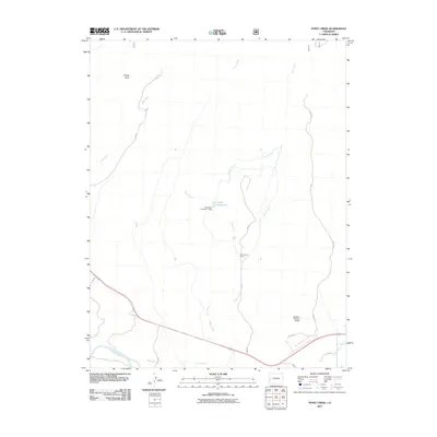
2011 Map of Point Creek
USGS Topo · Published 2011About this map
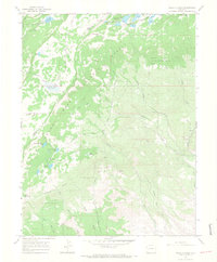
Alkali Creek and Point Creek define the drainage patterns of this high-desert landscape in Delta County, flowing south toward the Gunnison River. The map documents a sophisticated network of water management essential for ranching and agriculture in western Colorado, highlighted by the Lone Star Ditch and Hartland Ditch. These man-made features connect to storage points like the Alkali Reservoir and Lone Starr Number 1 Dam. The Star Nelson Ranch serves as a primary point of human settlement amidst a terrain marked by distinctive landmarks like Sheep Rock and the winding course of Wells Gulch. A grid of rural routes, including Alkali Rd and Falcon Rd, provides access to these remote ranching operations and water control structures.
Find a feature on this map
20 named features on this map. Tap any name to fly to it.
Don’t see what you’re looking for? This feature index may not catch every label — zoom into the map to look around manually.
Map Details
Editions of this 2011 Point Creek Map
This is the sole edition of this map. No revisions or reprints were ever made.
Other maps of this area

1956 · Moab
USGS Topo · 1:250,000

1959 · Moab
USGS Topo · 1:250,000

1960 · Moab
USGS Topo · 1:250,000

1962 · Moab
USGS Topo · 1:250,000
1962 · North Delta
USGS Topo · 1:24,000
1962 · Delta
USGS Topo · 1:24,000

1964 · Moab
USGS Topo · 1:250,000

1965 · Moab
USGS Topo · 1:250,000
1965 · Point Creek
USGS Topo · 1:24,000
1965 · Hells Kitchen
USGS Topo · 1:24,000