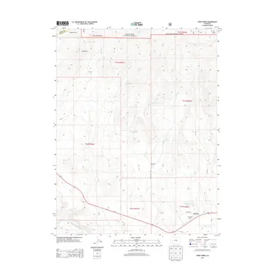
2013 Map of Point Creek
USGS Topo · Published 2013About this map
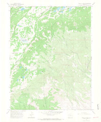
Grand Mesa National Forest dominates the northern landscape of this region, where the high country gives way to the drainage systems of Beaver Gulch and Wells Gulch. The transition from the forest boundary south toward the city of Delta reveals a complex network of agricultural water management, including the Lone Star Ditch and the Alkali Reservoir. This infrastructure reflects the long-standing reliance on irrigation to sustain life and ranching in the arid high-desert environment.
Find a feature on this map
32 named features on this map. Tap any name to fly to it.
Don’t see what you’re looking for? This feature index may not catch every label — zoom into the map to look around manually.
Map Details
Editions of this 2013 Point Creek Map
This is the sole edition of this map. No revisions or reprints were ever made.
Other maps of this area

1956 · Moab
USGS Topo · 1:250,000

1959 · Moab
USGS Topo · 1:250,000

1960 · Moab
USGS Topo · 1:250,000

1962 · Moab
USGS Topo · 1:250,000
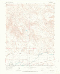
1962 · North Delta
USGS Topo · 1:24,000
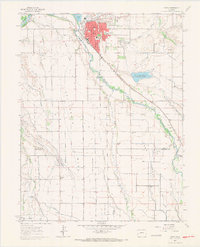
1962 · Delta
USGS Topo · 1:24,000

1964 · Moab
USGS Topo · 1:250,000

1965 · Moab
USGS Topo · 1:250,000
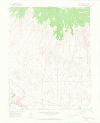
1965 · Point Creek
USGS Topo · 1:24,000
1965 · Hells Kitchen
USGS Topo · 1:24,000