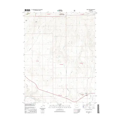
2016 Map of Point Creek
USGS Topo · Published 2016About this map
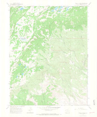
Grand Mesa National Forest defines the high-altitude northern landscape of this region, dropping down toward the fertile drainage of the Gunnison River. This corner of Colorado shows a sophisticated network of water management, evidenced by the Lone Star Ditch and Hartland Ditch, which redirect water through the arid terrain to support local land use. The transition from the steep relief of Sheep Rock and Escalante Canyon to the valley floor is marked by more recent developments, such as the Westwinds Airport. This survey provides a look at the intersection of natural landmarks and rural infrastructure, from the secluded paths along Wells Gulch Rd to the seasonal flow of Alkali Cr and the collection point at Alkali Reservoir.
Find a feature on this map
29 named features on this map. Tap any name to fly to it.
Don’t see what you’re looking for? This feature index may not catch every label — zoom into the map to look around manually.
Map Details
Editions of this 2016 Point Creek Map
This is the sole edition of this map. No revisions or reprints were ever made.
Other maps of this area

1956 · Moab
USGS Topo · 1:250,000

1959 · Moab
USGS Topo · 1:250,000

1960 · Moab
USGS Topo · 1:250,000

1962 · Moab
USGS Topo · 1:250,000
1962 · North Delta
USGS Topo · 1:24,000
1962 · Delta
USGS Topo · 1:24,000

1964 · Moab
USGS Topo · 1:250,000

1965 · Moab
USGS Topo · 1:250,000
1965 · Point Creek
USGS Topo · 1:24,000
1965 · Hells Kitchen
USGS Topo · 1:24,000