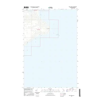
2017 Map of Point Isabelle
USGS Topo · Published 2017About this map
Point Isabelle projects into the cold waters where Bete Grise Bay meets the open expanse of Lake Superior. This shoreline of the Keweenaw Peninsula is defined by its remote coastal geography, featuring the protected inlet of Lac La Belle to the north and the curve of Oliver Bay to the south. The area remains sparsely developed, with the winding Gay Rd providing the primary land access through the wooded wetlands and low-lying terrain. The map details the intricate boundary between land and water, illustrating a landscape shaped by lake levels and natural drainage patterns within the townships of T57N R29W and T58N R29W.
Find a feature on this map
8 named features on this map. Tap any name to fly to it.
Don’t see what you’re looking for? This feature index may not catch every label — zoom into the map to look around manually.
Map Details
Editions of this 2017 Point Isabelle Map
This is the sole edition of this map. No revisions or reprints were ever made.
Other maps of this area

1927 · Point Isabelle
USGS Topo · 1:31,680

1938 · Delaware
USGS Topo · 1:31,680

1939 · Deer Lake
USGS Topo · 1:31,680

1939 · Delaware
USGS Topo · 1:31,680

1940 · Deer Lake
USGS Topo · 1:31,680

1940 · Fort Wilkins
USGS Topo · 1:31,680

1940 · Lake Medora
USGS Topo · 1:31,680
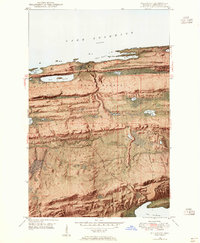
1948 · Delaware
USGS Topo · 1:24,000
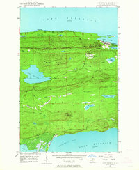
1948 · Lake Medora
USGS Topo · 1:24,000

1948 · Fort Wilkins
USGS Topo · 1:24,000