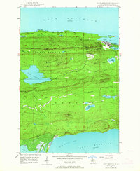
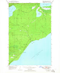
1948 Map of Lake Medora
USGS Topo · Published 1964About this map
Copper Harbor and the rugged northern tip of the Keweenaw Peninsula define this landscape in the years following World War II. The map reveals a transition from the area's copper-mining legacy to its role as a premier recreational destination, centered around Lake Medora and the elevated views along Brockway Mountain Drive. To the north, the shoreline of Lake Superior features Dans Point and Porters I, while the interior is dominated by steep ridgelines like West Bluff and Rocky Ridge. Local history is anchored at Ft Wilkins State Park, situated between the harbor and Lake Fanny Hooe. The southern portion of the quadrangle descends toward Bete Grise Bay, where the small settlement of Bete Grise sits near the outlet of Lac La Belle, illustrating the isolation and specialized maritime and geological character of this remote Michigan district.
Find a feature on this map
35 named features on this map. Tap any name to fly to it.
Don’t see what you’re looking for? This feature index may not catch every label — zoom into the map to look around manually.
Map Details
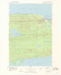
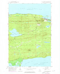
Editions of this 1948 Lake Medora Map
3 editions found
Other maps of this area

1927 · Point Isabelle
USGS Topo · 1:31,680

1938 · Delaware
USGS Topo · 1:31,680

1939 · Deer Lake
USGS Topo · 1:31,680

1939 · Delaware
USGS Topo · 1:31,680

1940 · Deer Lake
USGS Topo · 1:31,680

1940 · Fort Wilkins
USGS Topo · 1:31,680

1940 · Lake Medora
USGS Topo · 1:31,680
1948 · Delaware
USGS Topo · 1:24,000

1948 · Fort Wilkins
USGS Topo · 1:24,000
1948 · Deer Lake
USGS Topo · 1:24,000