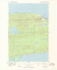
1948 Map of Lake Medora
USGS Topo · Published 1969About this map
Brockway Mountain Drive traces the high ridgeline of this Keweenaw Peninsula landscape, offering a view of the post-war development in Michigan's Copper Country. The map highlights the coastal community of Copper Harbor, situated near Ft Wilkins State Park and Lake Fanny Hooe, while the inland terrain is defined by the massive Lake Medora. This mid-century survey illustrates a region transitioning from its mining roots toward a recreational economy, as evidenced by the establishment of Keweenaw County Park and Hebard State Park. The southern portion of the sheet descends toward Bete Grise and the marshy edges of Lac La Belle, showing the complex hydrology of the Montreal River as it winds toward the rocky shorelines of Lake Superior.
Find a feature on this map
32 named features on this map. Tap any name to fly to it.
Don’t see what you’re looking for? This feature index may not catch every label — zoom into the map to look around manually.
Map Details
Editions of this 1948 Lake Medora Map
3 editions found
Other maps of this area

1927 · Point Isabelle
USGS Topo · 1:31,680

1938 · Delaware
USGS Topo · 1:31,680

1939 · Deer Lake
USGS Topo · 1:31,680

1939 · Delaware
USGS Topo · 1:31,680

1940 · Deer Lake
USGS Topo · 1:31,680

1940 · Fort Wilkins
USGS Topo · 1:31,680

1940 · Lake Medora
USGS Topo · 1:31,680
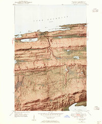
1948 · Delaware
USGS Topo · 1:24,000
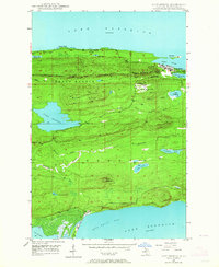
1948 · Lake Medora
USGS Topo · 1:24,000

1948 · Fort Wilkins
USGS Topo · 1:24,000