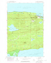
1948 Map of Lake Medora
USGS Topo · Published 1976About this map
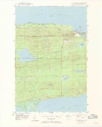
Copper Harbor anchors the northern edge of this Keweenaw Peninsula survey, marking a site deeply tied to Michigan's maritime and military history. The landscape is defined by its dramatic elevation changes, with Brockway Mountain Drive traversing the heights of West Bluff and Brockway Nose to provide overlooks of Lake Superior. The interior of the peninsula is a dense network of water bodies and ridges, including Lake Medora and the high point of Mount Houghton to the south.
Find a feature on this map
36 named features on this map. Tap any name to fly to it.
Don’t see what you’re looking for? This feature index may not catch every label — zoom into the map to look around manually.
Map Details
Editions of this 1948 Lake Medora Map
3 editions found
Other maps of this area

1927 · Point Isabelle
USGS Topo · 1:31,680

1938 · Delaware
USGS Topo · 1:31,680

1939 · Deer Lake
USGS Topo · 1:31,680

1939 · Delaware
USGS Topo · 1:31,680

1940 · Deer Lake
USGS Topo · 1:31,680

1940 · Fort Wilkins
USGS Topo · 1:31,680

1940 · Lake Medora
USGS Topo · 1:31,680
1948 · Delaware
USGS Topo · 1:24,000
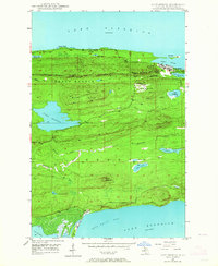
1948 · Lake Medora
USGS Topo · 1:24,000

1948 · Fort Wilkins
USGS Topo · 1:24,000