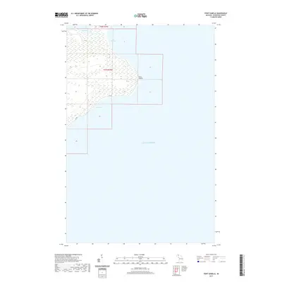
2019 Map of Point Isabelle
USGS Topo · Published 2019About this map
Point Isabelle marks a prominent landform on the Keweenaw Peninsula, where the wetlands of the interior meet the expanse of Lake Superior. This 2019 survey documents a landscape defined by water and woods, showing the southern reach of Bete Grise Bay as it transitions into Oliver Bay. The only significant thoroughfare in this area is Gay Rd, which skirts the edge of the wetlands and provides access to the shoreline. Near the northern boundary of the map, the eastern edge of Lac La Belle is visible, illustrating the hydrological connection between inland waters and the Great Lakes. The map provides a contemporary record of the public land survey system lines for t58n r29w and t57n r29w, which continue to define property and administrative boundaries in this part of Michigan.
Find a feature on this map
8 named features on this map. Tap any name to fly to it.
Don’t see what you’re looking for? This feature index may not catch every label — zoom into the map to look around manually.
Map Details
Editions of this 2019 Point Isabelle Map
This is the sole edition of this map. No revisions or reprints were ever made.
Other maps of this area

1927 · Point Isabelle
USGS Topo · 1:31,680

1938 · Delaware
USGS Topo · 1:31,680

1939 · Deer Lake
USGS Topo · 1:31,680

1939 · Delaware
USGS Topo · 1:31,680

1940 · Deer Lake
USGS Topo · 1:31,680

1940 · Fort Wilkins
USGS Topo · 1:31,680

1940 · Lake Medora
USGS Topo · 1:31,680
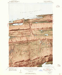
1948 · Delaware
USGS Topo · 1:24,000
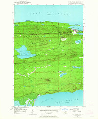
1948 · Lake Medora
USGS Topo · 1:24,000

1948 · Fort Wilkins
USGS Topo · 1:24,000