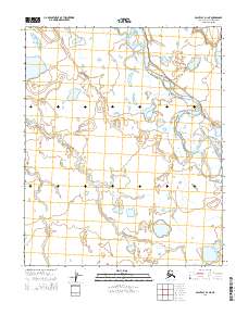
2014 Map of Point Lay D-1 NE
USGS Topo · Published 2014About this map
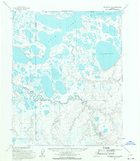
The Utukok River meanders across the northern reaches of this North Slope landscape, defining a remote arctic drainage system north of the Brooks Range. The river's braided channels and oxbow formations suggest a dynamic floodplain that shifts across the tundra with each seasonal thaw. Further south, the Kugachiak Cr weaves through the low-lying terrain, creating a network of small ponds and wetlands typical of this coastal plain environment. The Public Land Survey System grid lines for townships such as t7n r41w and t8n r42w provide a structural overlay to an otherwise unbroken expanse of permafrost and water, illustrating how modern cartography imposes order on one of the most secluded regions in Alaska.
Find a feature on this map
8 named features on this map. Tap any name to fly to it.
Don’t see what you’re looking for? This feature index may not catch every label — zoom into the map to look around manually.
Map Details
Editions of this 2014 Point Lay D-1 NE Map
This is the sole edition of this map. No revisions or reprints were ever made.
Other maps of this area

1951 · Utukok River
USGS Topo · 1:250,000

1951 · Wainwright
USGS Topo · 1:250,000

1951 · Point Lay
USGS Topo · 1:250,000

1955 · Wainwright
USGS Topo · 1:250,000

1955 · Point Lay
USGS Topo · 1:250,000
1955 · Utukok River D-5
USGS Topo · 1:63,360
1955 · Wainwright A-6 and A-7
USGS Topo · 1:63,360
1955 · Point Lay D-1
USGS Topo · 1:63,360
1955 · Wainwright A-5
USGS Topo · 1:63,360

1956 · Utukok River
USGS Topo · 1:250,000