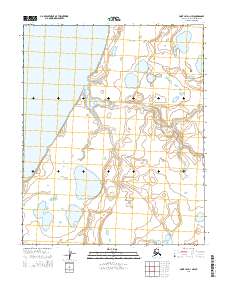
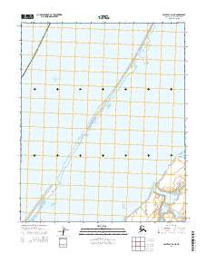
2014 Map of Point Lay D-1 NW
USGS Topo · Published 2014About this map
Kasegaluk Lagoon dominates the western coastline of this Arctic map, separated from the open Chukchi Sea by a narrow coastal barrier. This coastal environment is defined by low-lying wetland complexes and tidal inlets, where the Kugachiak Cr winds through the tundra to meet the lagoon waters. The landscape is characterized by a high density of thermokarst lakes and thaw ponds, typical of the North Slope's permafrost-driven geography. While modern surveying from agencies like the U.S. Geological Survey provides precise elevation data, the region remains largely undeveloped, preserving a wilderness character defined by the shifting drainage patterns of small coastal streams and the vast lagoon system.
Find a feature on this map
7 named features on this map. Tap any name to fly to it.
Don’t see what you’re looking for? This feature index may not catch every label — zoom into the map to look around manually.
Map Details
Editions of this 2014 Point Lay D-1 NW Map
This is the sole edition of this map. No revisions or reprints were ever made.
Other maps of this area

1951 · Wainwright
USGS Topo · 1:250,000

1951 · Point Lay
USGS Topo · 1:250,000

1955 · Wainwright
USGS Topo · 1:250,000

1955 · Point Lay
USGS Topo · 1:250,000
1955 · Wainwright A-6 and A-7
USGS Topo · 1:63,360
1955 · Point Lay D-1
USGS Topo · 1:63,360
1955 · Point Lay D-2
USGS Topo · 1:63,360

1964 · Wainwright
USGS Topo · 1:250,000

1965 · Point Lay
USGS Topo · 1:250,000
2014 · Point Lay D-2 NE
USGS Topo · 1:25,000