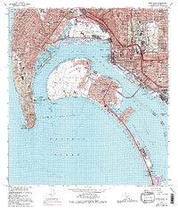
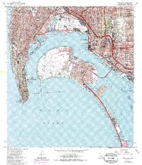
1967 Map of Point Loma
USGS Topo · Published 1994About this map
San Diego and Coronado anchor this coastal landscape during a period of significant mid-century infrastructure and military presence. The map documents the extensive naval and aviation footprint surrounding San Diego Bay, including the US Naval Air Station North Island and the U S Marine Corps Recruit Depot. On the rugged peninsula of Point Loma, the Fort Rosecrans National Cemetery and Cabrillo Nat Mon stand near the Old Lighthouse, marking the historic entrance to the harbor.
Find a feature on this map
98 named features on this map. Tap any name to fly to it.
Don’t see what you’re looking for? This feature index may not catch every label — zoom into the map to look around manually.
Map Details
Editions of this 1967 Point Loma Map
5 editions found
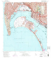
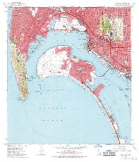
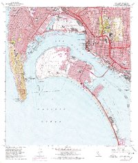
Other maps of this area

1903 · La Jolla
USGS Topo · 1:62,500

1904 · San Diego
USGS Topo · 1:62,500

1904 · Southern California Sheet No. 2
USGS Topo · 1:250,000

1930 · La Jolla
USGS Topo · 1:62,500

1930 · San Diego
USGS Topo · 1:62,500
1942 · La Mesa
USGS Topo · 1:31,680

1942 · Point Loma
USGS Topo · 1:31,680

1943 · La Jolla
USGS Topo · 1:31,680
1943 · San Ysidro
USGS Topo · 1:31,680
1944 · National City
USGS Topo · 1:31,680