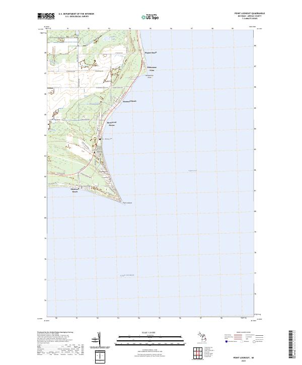
2023 Map of Point Lookout
USGS Topo · Published 2023This historical map portrays the area of Point Lookout in 2023, primarily covering Arenac County. Featuring a scale of 1:24000, this map provides a highly detailed snapshot of the terrain, roads, buildings, counties, and historical landmarks in the Point Lookout region at the time. Published in 2023, it is the sole known edition of this map.
Find a feature on this map
47 named features on this map. Tap any name to fly to it.
Don’t see what you’re looking for? This feature index may not catch every label — zoom into the map to look around manually.
Map Details
Editions of this 2023 Point Lookout Map
This is the sole edition of this map. No revisions or reprints were ever made.
Historical Maps of Birchwood Shores Through Time
9 maps found
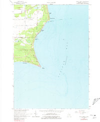
1966 Point Lookout
Arenac County, MI
1967 Standish NE
Arenac County, MI
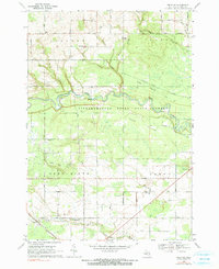
1968 Omer SW
Arenac County, MI
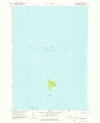
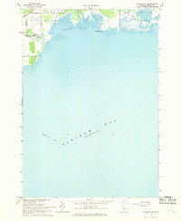
1970 Charity Island
Arenac County, MI
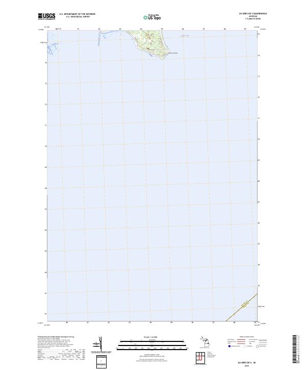
2023 Au Gres OE S
Arenac County, MI
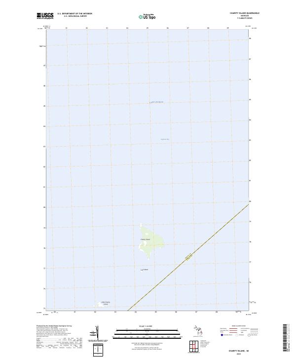
2023 Charity Island
Arenac County, MI
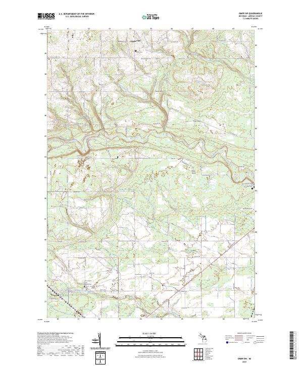
2023 Omer SW
Arenac County, MI
2023 Point Lookout
Arenac County, MI
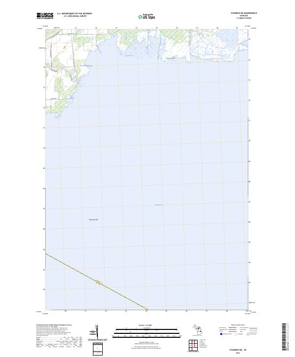
2023 Standish NE
Arenac County, MI
Featured Locations
- Birchwood Shores, Sims Township
- Glenwood Beach, Sims Township
- Hammell Beach, Whitney Township
- Wagner Beach, Whitney Township
- Whitestone Point, Whitney Township