
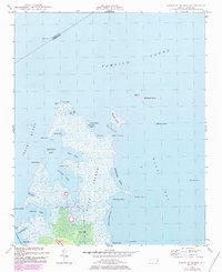
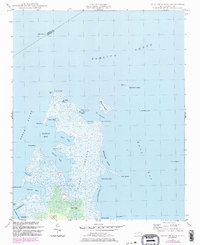
1949 Map of Point Of Marsh
USGS Topo · Published 1976About this map
Piney Island and the marsh-dominated wetlands of the Hunting Quarters characterize this 1940s landscape where the Neuse River meets Pamlico Sound. This area remains largely defined by its natural water features and coastal transitions, including the intricate passages of The Narrows and the sheltered waters of Henry Hills Harbor. Navigation is marked by established aids such as the Point of Marsh Lt and Cedar Island Bay Lt, signaling the significance of these waterways for coastal traffic.
Find a feature on this map
42 named features on this map. Tap any name to fly to it.
Don’t see what you’re looking for? This feature index may not catch every label — zoom into the map to look around manually.
Map Details
Editions of this 1949 Point Of Marsh Map
3 editions found
Other maps of this area

1948 · North Bay
USGS Topo · 1:24,000

1949 · Atlantic
USGS Topo · 1:24,000

1949 · Long Bay
USGS Topo · 1:24,000

1949 · South River
USGS Topo · 1:24,000

1950 · Long Bay
USGS Topo · 1:24,000

1950 · South River
USGS Topo · 1:24,000

1950 · North Bay
USGS Topo · 1:24,000

1950 · Point Of Marsh
USGS Topo · 1:24,000

1950 · Jones Bay
USGS Topo · 1:24,000
1951 · Atlantic
USGS Topo · 1:24,000