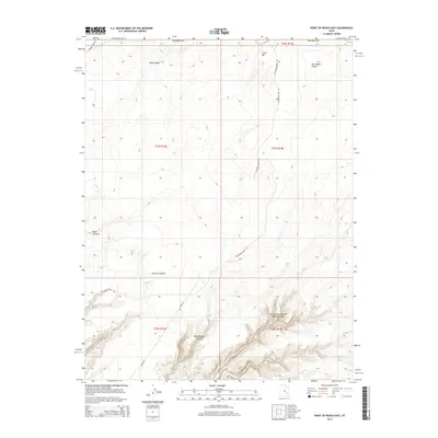
2014 Map of Point of Rocks East
USGS Topo · Published 2014About this map
North Fork Robbers Roost Canyon and White Roost Canyon dominate the southern reaches of this landscape, showcasing the intricate drainage patterns that define this section of the San Rafael Desert. The terrain transitions from the high ground of Texas Hill in the northeast toward the dramatic verticality of the canyon systems. In the western portion, the prominent landmark Point of Rocks stands above the head of Pasture Canyon, a topography shaped by seasonal runoff through features like Blackburn Wash.
Find a feature on this map
19 named features on this map. Tap any name to fly to it.
Don’t see what you’re looking for? This feature index may not catch every label — zoom into the map to look around manually.
Map Details
Editions of this 2014 Point of Rocks East Map
This is the sole edition of this map. No revisions or reprints were ever made.
Other maps of this area

1885 · San Rafael
USGS Topo · 1:250,000

1953 · Temple Mtn
USGS Topo · 1:62,500

1954 · Stinking Spring Creek 4 SE
USGS Topo · 1:24,000

1956 · Salina
USGS Topo · 1:250,000

1960 · Salina
USGS Topo · 1:250,000

1962 · Salina
USGS Topo · 1:250,000

1963 · Robbers Roost Canyon
USGS Topo · 1:62,500
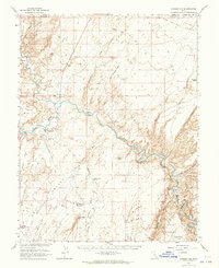
1963 · Hanksville
USGS Topo · 1:62,500
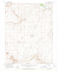
1963 · The Flat Tops
USGS Topo · 1:62,500
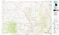
1980 · Hanksville
USGS Topo · 1:100,000