
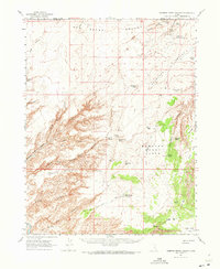
1963 Map of Robbers Roost Canyon
USGS Topo · Published 1964About this map
The San Rafael Desert dominates this high-plateau landscape, where the rugged drainages of Robbers Roost Canyon and its many forks carve deep into the sandstone. During the early 1960s, this area remained a sparsely populated frontier of ranching and livestock movement, centered around isolated points like Biddlecome Ranch and Village Home. The complex network of canyons, including Blue John Canyon and No Mans Canyon, is interspersed with vital water sources such as Robbers Roost Spring, Blue John Spring, and Granary Spring, which were essential for survival in this arid environment.
Find a feature on this map
50 named features on this map. Tap any name to fly to it.
Don’t see what you’re looking for? This feature index may not catch every label — zoom into the map to look around manually.
Map Details
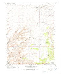
Editions of this 1963 Robbers Roost Canyon Map
3 editions found
Other maps of this area

1885 · San Rafael
USGS Topo · 1:250,000

1952 · Bull Mountain
USGS Topo · 1:62,500

1953 · Orange Cliffs 4 NW
USGS Topo · 1:24,000

1953 · Orange Cliffs 3 NE
USGS Topo · 1:24,000

1953 · Orange Cliffs 3 NW
USGS Topo · 1:24,000

1953 · The Spur
USGS Topo · 1:62,500

1953 · Temple Mtn
USGS Topo · 1:62,500

1953 · Fiddler Butte
USGS Topo · 1:62,500

1953 · Orange Cliffs
USGS Topo · 1:62,500

1954 · Stinking Spring Creek 4 SE
USGS Topo · 1:24,000