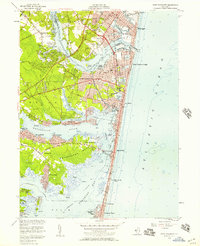
1953 Map of Point Pleasant
USGS Topo · Published 1957About this map
Point Pleasant and its neighboring Shore communities are documented here during a period of significant mid-century development along the Atlantic Ocean and Barnegat Bay. The intricate coastal geography is defined by the Manasquan River to the north and the Metedeconk River branching through Wardells Neck. Established settlements like Manasquan, Brielle, and Bay Head show dense street grids, while western areas such as Herbertsville and Osbornsville maintain a more rural character with numerous borrow pits and extensive cranberry bogs. The importance of the regional transport and defense network is evident in the presence of the Bay Head Junction railroad terminus, the Adamston USAF Radio Station, and the National Guard Camp near Sea Girt. This survey captures the transition of the Jersey Shore from a collection of fishing and resort villages into a more permanent suburban landscape.
Find a feature on this map
91 named features on this map. Tap any name to fly to it.
Don’t see what you’re looking for? This feature index may not catch every label — zoom into the map to look around manually.
Map Details
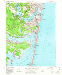
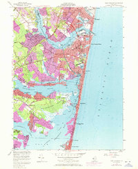
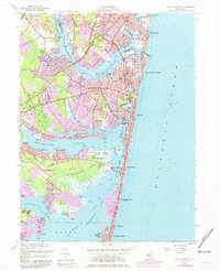
Editions of this 1953 Point Pleasant Map
4 editions found
Other maps of this area

1888 · Barnegat
USGS Topo · 1:62,500

1888 · Asbury Park
USGS Topo · 1:62,500

1893 · Asbury Park
USGS Topo · 1:62,500

1893 · Barnegat
USGS Topo · 1:62,500

1898 · Barnegat
USGS Topo · 1:62,500

1901 · Asbury Park
USGS Topo · 1:62,500

1902 · Navesink
USGS Topo · 1:125,000

1919 · Barnegat
USGS Topo · 1:62,500

1919 · Asbury Park
USGS Topo · 1:62,500

1941 · Toms River
USGS Topo · 1:62,500