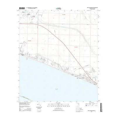
2015 Map of Point Washington
USGS Topo · Published 2015About this map
Point Washington anchors the northern reaches of this coastal quadrangle, situated where Tucker Bayou meets the larger Choctawhatchee Bay. The landscape is defined by the sharp contrast between the inland pine woods and the intricate network of coastal dune lakes that line the Gulf of Mexico. These unique water bodies, including Eastern Lake, Deer Lake, and Camp Cr Lake, separate the modern beach communities from the more established northern settlements.
Find a feature on this map
85 named features on this map. Tap any name to fly to it.
Don’t see what you’re looking for? This feature index may not catch every label — zoom into the map to look around manually.
Map Details
Editions of this 2015 Point Washington Map
This is the sole edition of this map. No revisions or reprints were ever made.
Other maps of this area

1936 · Point Washington
USGS Topo · 1:48,000

1939 · Point Washington
USGS Topo · 1:62,500

1943 · Laguna Beach
USGS Topo · 1:31,680

1943 · Seminole Hills
USGS Topo · 1:24,000

1944 · Seminole Hills
USGS Topo · 1:31,680

1944 · Bruce
USGS Topo · 1:24,000

1945 · Bruce
USGS Topo · 1:31,680

1954 · Tallahassee
USGS Topo · 1:250,000

1957 · Pensacola
USGS Topo · 1:250,000

1959 · Tallahassee
USGS Topo · 1:250,000