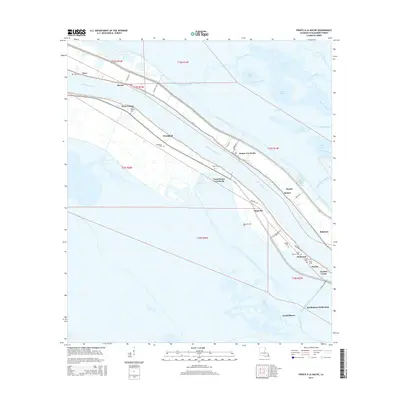
2015 Map of Pointe a la Hache
USGS Topo · Published 2015About this map
The Mississippi River defines the geography of this Plaquemines Parish landscape, flanked by a complex network of man-made waterways like the Back-Levee Canal and Foster Canal. Settled life is concentrated along the narrow levees, where a string of communities including Pointe à la Hache, Woodland, and Davant trace the river's curve. Genealogy researchers will find significant value in the high density of family and community burial grounds documented here, such as Saint Paulinus Cem, Ancal Cem, and Mange Cem. To the east, the map transitions into the sprawling wetlands of the Mississippi Delta, marked by Wreck Bay, Bay Schayot, and the Pointe A La Hache Boat Harbor. The presence of the Barthelemy Settlement near the southern marshlands illustrates the historical pattern of isolated outposts established within this intricate coastal ecosystem.
Find a feature on this map
59 named features on this map. Tap any name to fly to it.
Don’t see what you’re looking for? This feature index may not catch every label — zoom into the map to look around manually.
Map Details
Editions of this 2015 Pointe a la Hache Map
This is the sole edition of this map. No revisions or reprints were ever made.
Other maps of this area

1891 · Pointe a La Hache
USGS Topo · 1:62,500

1892 · Quarantine
USGS Topo · 1:62,500

1892 · Pointe a La Hache
USGS Topo · 1:62,500

1893 · Fort Livingston
USGS Topo · 1:62,500

1893 · Dime
USGS Topo · 1:62,500

1935 · Port Sulphur
USGS Topo · 1:31,680

1935 · Lake Batola
USGS Topo · 1:31,680

1935 · Wilkinson Bay
USGS Topo · 1:31,680

1939 · Pointe a La Hache
USGS Topo · 1:62,500

1941 · Black Bay
USGS Topo · 1:62,500