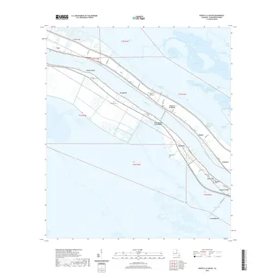
2020 Map of Pointe a la Hache
USGS Topo · Published 2020About this map
Pointe à la Hache and West Pointe A La Hache sit directly across from one another on the banks of the Mississippi River, linked by the Pointe a la Hache Ferry. This river-oriented landscape in Plaquemines Parish shows a ribbon of human settlement along the high ground of the levees, contrasted with the extensive wetlands and bays to the northeast, including First Bay and Wreck Bay. The map is particularly valuable for genealogical research, identifying numerous family and community burial sites such as Nero Cem, Ballowe Cem, Menge Cem, and Ancal Cem. Smaller communities like Bohemia and Socola line HWY 15, marking the persistent footprint of coastal Louisiana life before the encroaching waters of Grand Bayou and Bayou Chene define the southern landscape.
Find a feature on this map
57 named features on this map. Tap any name to fly to it.
Don’t see what you’re looking for? This feature index may not catch every label — zoom into the map to look around manually.
Map Details
Editions of this 2020 Pointe a la Hache Map
This is the sole edition of this map. No revisions or reprints were ever made.
Other maps of this area

1891 · Pointe a La Hache
USGS Topo · 1:62,500

1892 · Quarantine
USGS Topo · 1:62,500

1892 · Pointe a La Hache
USGS Topo · 1:62,500

1893 · Fort Livingston
USGS Topo · 1:62,500

1893 · Dime
USGS Topo · 1:62,500

1935 · Port Sulphur
USGS Topo · 1:31,680

1935 · Lake Batola
USGS Topo · 1:31,680

1935 · Wilkinson Bay
USGS Topo · 1:31,680

1939 · Pointe a La Hache
USGS Topo · 1:62,500

1941 · Black Bay
USGS Topo · 1:62,500