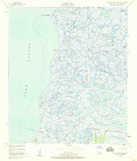
1955 Map of Pointe aux Marchettes
USGS Topo · Published 1959About this map
Lake Borgne defines the western edge of this coastal marsh landscape in St. Bernard Parish, where the intricate network of the Mississippi River delta meets the open water. In the mid-1950s, this area remained an expansive wetlands environment dominated by tidal lagoons and winding bayous. The southern reach of the map is anchored by the historic Bayou La Loutre, a major waterway accompanied by the distinctive Magnolia Mound. Local nomenclature is preserved through family-named or colloquial landmarks such as Johnnys Ditch, St Malo Bayou, and the curiously named Mussolini Bayou. This survey reveals the pre-industrial character of the wetlands before later coastal erosion and modern development significantly altered the shoreline near Pte aux Marchettes. Smaller interior water bodies like Brick Lagoon and Magill Lagoon illustrate the highly fragmented nature of this amphibious terrain.
Find a feature on this map
27 named features on this map. Tap any name to fly to it.
Don’t see what you’re looking for? This feature index may not catch every label — zoom into the map to look around manually.
Map Details
Editions of this 1955 Pointe aux Marchettes Map
2 editions found
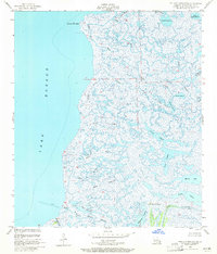
Other maps of this area

1893 · Rigolets
USGS Topo · 1:62,500

1893 · Shell Beach
USGS Topo · 1:62,500

1893 · Toulme
USGS Topo · 1:62,500

1895 · Bodreau
USGS Topo · 1:62,500

1936 · Rigolets
USGS Topo · 1:62,500

1939 · Shell Beach
USGS Topo · 1:62,500

1941 · Shell Beach
USGS Topo · 1:62,500

1946 · Lake Eugenie
USGS Topo · 1:31,680

1946 · Malheureux Point
USGS Topo · 1:31,680
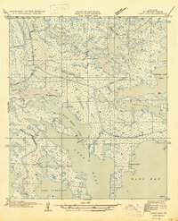
1947 · Lake Eloi
USGS Topo · 1:31,680