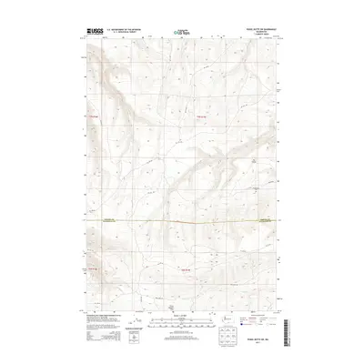
2013 Map of Poisel Butte SW
USGS Topo · Published 2013About this map
Onepennee Cem rests on a high plateau in this corner of the Yakama Indian Reservation, a landscape defined by the steep southern descent into the Horse Heaven Hills. The map details a rugged transition where the high country drops away toward the Klickitat Co line, marked by intermittent water sources like Rock Spring and Pine Spring. These critical water points are scattered among the drainages of Mule-Dry Cr and Pine Cr, which carve deep contours into the terrain. A network of Bureau of Indian Affairs roads, including Bia 240 RD and Bia 63 RD, provide the primary access through this isolated section of Washington. The geography is characterized by distinctive landforms such as The Island, illustrating the complex erosional patterns of the eastern Cascades' rain shadow.
Find a feature on this map
23 named features on this map. Tap any name to fly to it.
Don’t see what you’re looking for? This feature index may not catch every label — zoom into the map to look around manually.
Map Details
Editions of this 2013 Poisel Butte SW Map
This is the sole edition of this map. No revisions or reprints were ever made.
Other maps of this area

1910 · Zillah
USGS Topo · 1:125,000

1916 · Arlington
USGS Topo · 1:125,000

1937 · White Swan
USGS Topo · 1:125,000

1950 · Yakima
USGS Topo · 1:250,000

1953 · The Dalles
USGS Topo · 1:250,000

1956 · The Dalles
USGS Topo · 1:250,000

1957 · The Dalles
USGS Topo · 1:250,000

1957 · Satus Pass
USGS Topo · 1:62,500

1958 · Yakima
USGS Topo · 1:250,000

1961 · Yakima
USGS Topo · 1:250,000